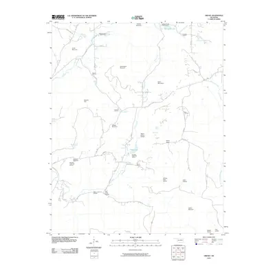
2010 Map of Greasy
USGS Topo · Published 2010About this map
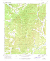
Dahlonegah Mountain and the Welch Mountains dominate this 2010 depiction of the Oklahoma landscape, where the terrain is heavily defined by named ridges and hollows. The area’s genealogical record is preserved through several family-named burial grounds, including Chullawe Cemetery, Chuculate Cemetery, and multiple instances of Beaver Cemetery. This quadrant illustrates a managed watershed, characterized by numerous flood control structures such as Sallisaw Creek Site 21 Dam and Sallisaw Creek Site 25 Dam.
Find a feature on this map
56 named features on this map. Tap any name to fly to it.
Don’t see what you’re looking for? This feature index may not catch every label — zoom into the map to look around manually.
Map Details
Editions of this 2010 Greasy Map
This is the sole edition of this map. No revisions or reprints were ever made.
Other maps of this area

1898 · Tahlequah
USGS Topo · 1:125,000

1901 · Tahlequah
USGS Topo · 1:125,000

1905 · Tahlequah
USGS Topo · 1:125,000

1946 · Fort Smith
USGS Topo · 1:250,000

1965 · Fort Smith
USGS Topo · 1:250,000

1967 · Fort Smith
USGS Topo · 1:250,000
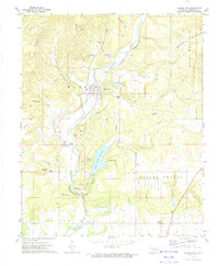
1972 · Marble City
USGS Topo · 1:24,000
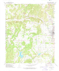
1972 · Stilwell West
USGS Topo · 1:24,000
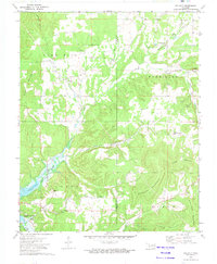
1972 · Tailholt
USGS Topo · 1:24,000
1972 · Bunch
USGS Topo · 1:24,000