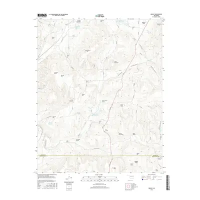
2016 Map of Greasy
USGS Topo · Published 2016About this map
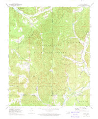
Greasy and the surrounding woodlands of Adair and Sequoyah counties are defined by a complex topography of ridges and deeply carved hollows. This landscape is punctuated by numerous family and community burial grounds, including Chuculate Cem, Killer Cem, and Rock Fence Cem, which serve as vital markers for local genealogical research. The drainage patterns of Sallisaw Creek and Greasy Cr have been modified by a series of reservoirs, such as Sallisaw Creek Site 21 Reservoir and Greasy Lake, which provide water management in this upland region.
Find a feature on this map
52 named features on this map. Tap any name to fly to it.
Don’t see what you’re looking for? This feature index may not catch every label — zoom into the map to look around manually.
Map Details
Editions of this 2016 Greasy Map
This is the sole edition of this map. No revisions or reprints were ever made.
Other maps of this area

1898 · Tahlequah
USGS Topo · 1:125,000

1901 · Tahlequah
USGS Topo · 1:125,000

1905 · Tahlequah
USGS Topo · 1:125,000

1946 · Fort Smith
USGS Topo · 1:250,000

1965 · Fort Smith
USGS Topo · 1:250,000

1967 · Fort Smith
USGS Topo · 1:250,000
1972 · Marble City
USGS Topo · 1:24,000
1972 · Stilwell West
USGS Topo · 1:24,000
1972 · Tailholt
USGS Topo · 1:24,000
1972 · Bunch
USGS Topo · 1:24,000