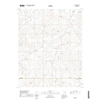
2018 Map of Greasy
USGS Topo · Published 2018About this map
Greasy and Cherry Tree anchor this 2018 survey of the hills and hollows along the Adair and Sequoyah County border. The landscape is defined by its numerous small burial grounds and family-named landmarks, reflecting a community deeply rooted in its local geography. Genealogists may find value in the precise locations of several small cemeteries, including Chulio Cem, Feathers Cem, and the Rock Fence Cem near the eastern boundary.
Find a feature on this map
82 named features on this map. Tap any name to fly to it.
Don’t see what you’re looking for? This feature index may not catch every label — zoom into the map to look around manually.
Map Details
Editions of this 2018 Greasy Map
This is the sole edition of this map. No revisions or reprints were ever made.
Other maps of this area
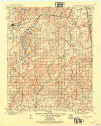
1898 · Tahlequah
USGS Topo · 1:125,000
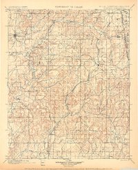
1901 · Tahlequah
USGS Topo · 1:125,000
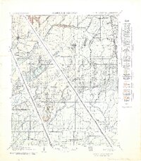
1905 · Tahlequah
USGS Topo · 1:125,000

1946 · Fort Smith
USGS Topo · 1:250,000
1965 · Fort Smith
USGS Topo · 1:250,000
1967 · Fort Smith
USGS Topo · 1:250,000
1972 · Marble City
USGS Topo · 1:24,000
1972 · Stilwell West
USGS Topo · 1:24,000
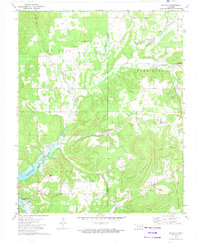
1972 · Tailholt
USGS Topo · 1:24,000
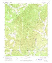
1972 · Bunch
USGS Topo · 1:24,000