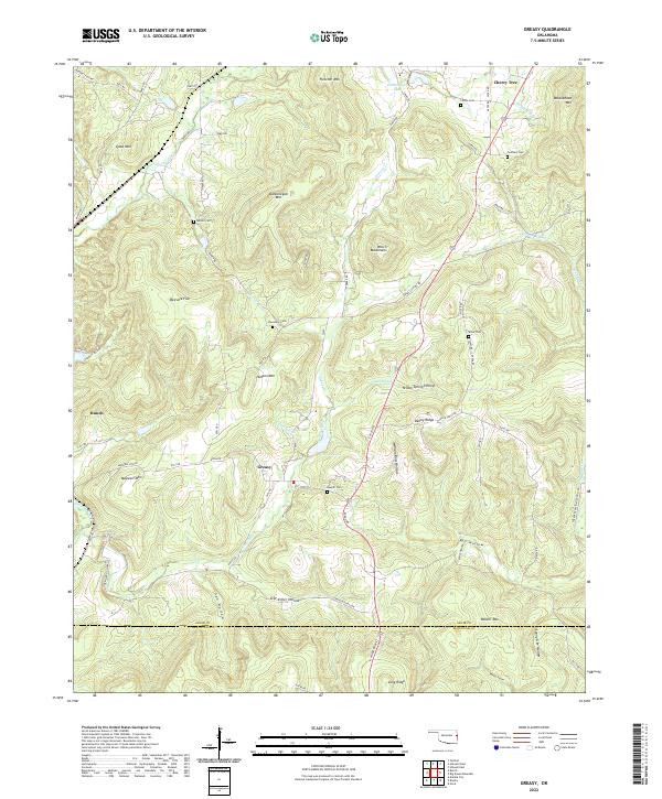
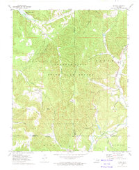
2022 Map of Greasy
USGS Topo · Published 2022About this map
Greasy and the surrounding woodlands of Adair County are defined by a landscape of named hollows and mountain ridges. The terrain transitions from the elevations of Dahlonegah Mtn and Fletcher Mtn in the north down toward the Greasy Creek drainage system. Small settlements like Bunch and Cherry Tree are connected by a network of local roads that weave through family-named landmarks and historical sites. Genealogists will find a significant distribution of local burial grounds, including the Chuculate Cem near Hudson Mtn and the Chulio Cem to the north. The map also records numerous geographic identifiers like Yellow Spring Hollow and Star Killer Hollow, reflecting a long history of local naming conventions in this corner of the Ozark foothills near the border with Sequoyah County.
Find a feature on this map
76 named features on this map. Tap any name to fly to it.
Don’t see what you’re looking for? This feature index may not catch every label — zoom into the map to look around manually.
Map Details
Editions of this 2022 Greasy Map
This is the sole edition of this map. No revisions or reprints were ever made.
Other maps of this area

1898 · Tahlequah
USGS Topo · 1:125,000

1901 · Tahlequah
USGS Topo · 1:125,000

1905 · Tahlequah
USGS Topo · 1:125,000

1946 · Fort Smith
USGS Topo · 1:250,000

1965 · Fort Smith
USGS Topo · 1:250,000

1967 · Fort Smith
USGS Topo · 1:250,000
1972 · Marble City
USGS Topo · 1:24,000
1972 · Stilwell West
USGS Topo · 1:24,000
1972 · Tailholt
USGS Topo · 1:24,000
1972 · Bunch
USGS Topo · 1:24,000