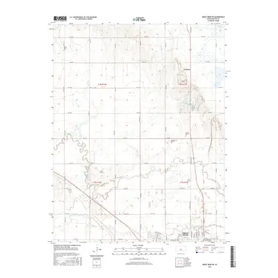
2015 Map of Great Bend NE
USGS Topo · Published 2015About this map
Great Bend and its northern outskirts occupy the lower section of this survey, where the winding channel of Walnut Cr and its tributary Dry Walnut Cr cut through the central Kansas plains. The landscape is defined by the rigid grid of the Public Land Survey System, with roads like NW 50 Rd and Button Rd following section lines across the prairie. The map shows the transition from the city’s residential streets, such as Main St and Washington St, into the agricultural hinterland characterized by larger land tracts and small water bodies like Barton Lake. This era shows significant memorial sites clustered north of the city, including Golden Belt Memorial Park and Hillcrest Memorial Park, alongside the older Walnut Valley Cem. The map provides a detailed look at the hydrology of the Arkansas River valley, specifically how Blood Cr and its drainage networks interact with the established township and range boundaries north of the settlement of Kanbrick.
Find a feature on this map
59 named features on this map. Tap any name to fly to it.
Don’t see what you’re looking for? This feature index may not catch every label — zoom into the map to look around manually.
Map Details
Editions of this 2015 Great Bend NE Map
This is the sole edition of this map. No revisions or reprints were ever made.
Other maps of this area
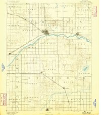
1891 · Great Bend
USGS Topo · 1:125,000
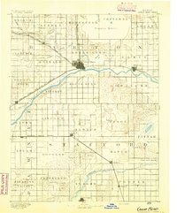
1893 · Great Bend
USGS Topo · 1:125,000
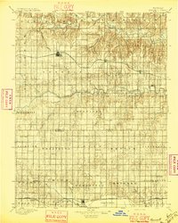
1896 · Russell
USGS Topo · 1:125,000

1955 · Great Bend
USGS Topo · 1:250,000
1956 · Ellinwood NW
USGS Topo · 1:24,000

1957 · Great Bend
USGS Topo · 1:250,000
1957 · Ellinwood SW
USGS Topo · 1:24,000

1958 · Great Bend
USGS Topo · 1:250,000
1958 · Great Bend
USGS Topo · 1:24,000
1959 · Great Bend NE
USGS Topo · 1:24,000