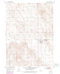
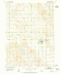
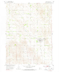
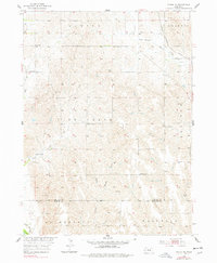
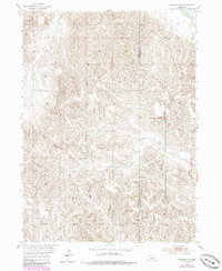
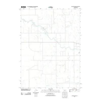
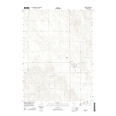
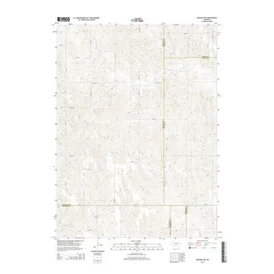
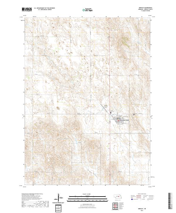
1954 Map of Greeley
USGS Topo · Published 1985About this map
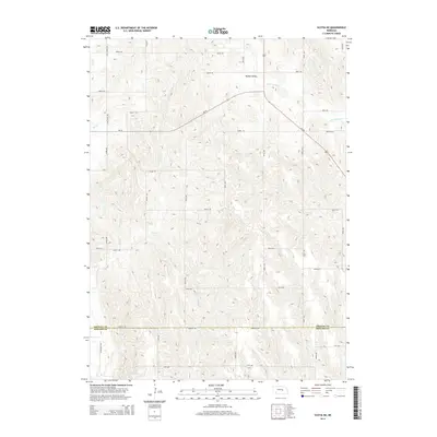
Greeley (Greeley Center) serves as the central hub of this Nebraska landscape, where the grid-like organization of the town stands in contrast to the winding paths of Spring Creek and the West Branch Boston Valley Creek. This mid-century survey, updated in the 1980s, documents a rural community supported by a network of small schoolhouses and religious sites, including Reed Sch, School No 54, and the Boston Valley Sch.
Find a feature on this map
13 named features on this map. Tap any name to fly to it.
Don’t see what you’re looking for? This feature index may not catch every label — zoom into the map to look around manually.
Map Details
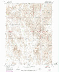
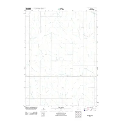
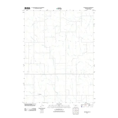
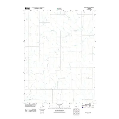
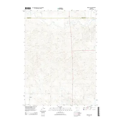
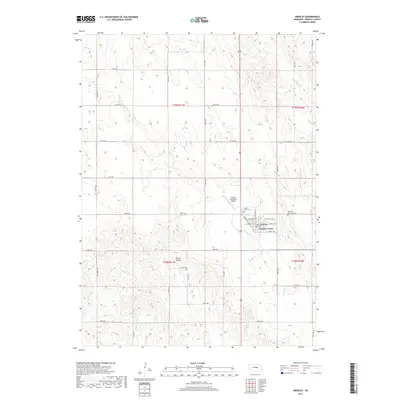
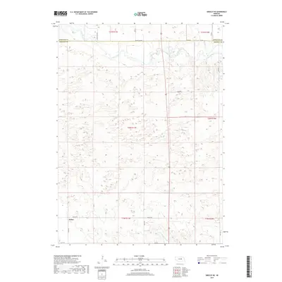
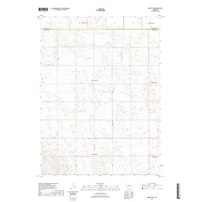
Editions of this 1954 Greeley Map
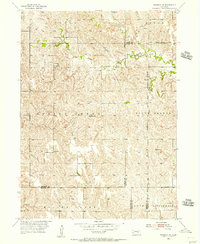
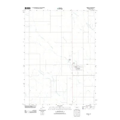
Historical Maps of Greeley Center Through Time
45 maps found
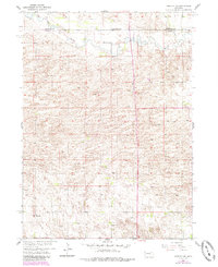
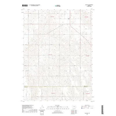
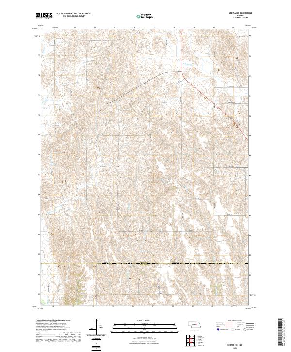
1953 Scotia NE
Greeley County, NE
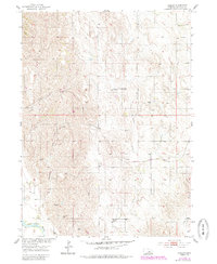
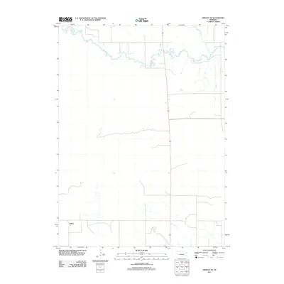
1954 Greeley
Greeley County, NE
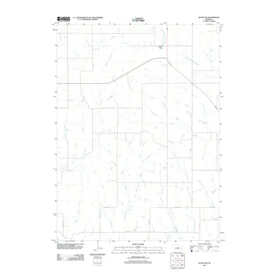
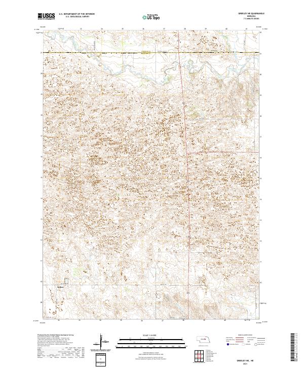
1954 Greeley NE
Greeley County, NE
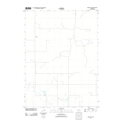
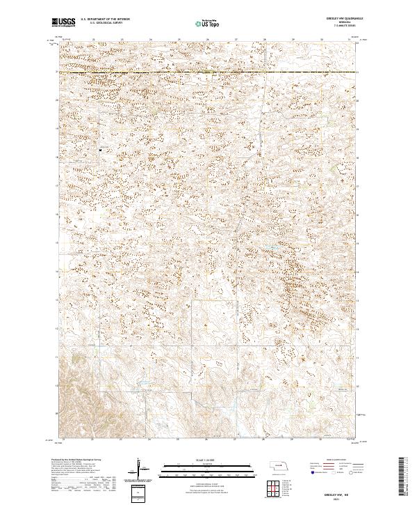
1954 Greeley NW
Greeley County, NE
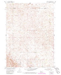
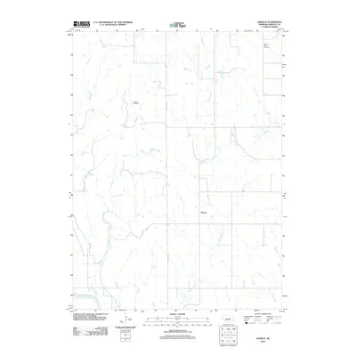
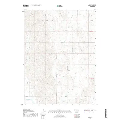
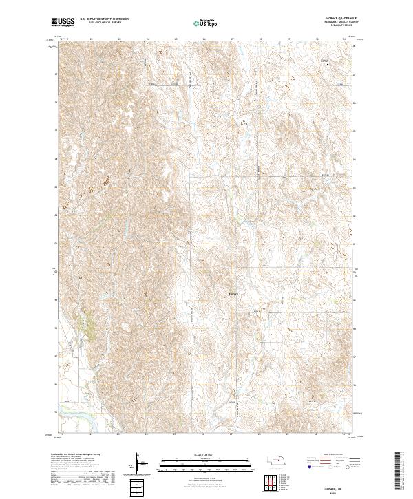
1954 Horace
Greeley County, NE
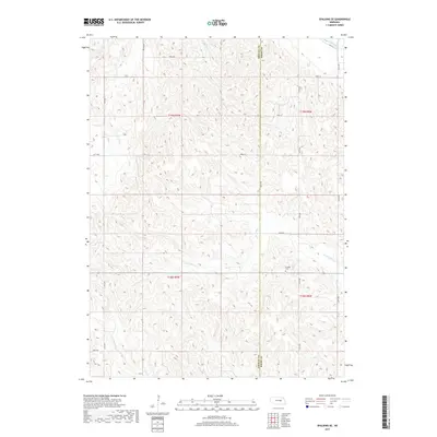
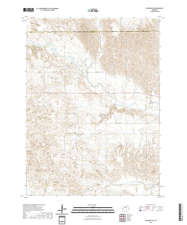
1954 Spalding NW
Greeley County, NE
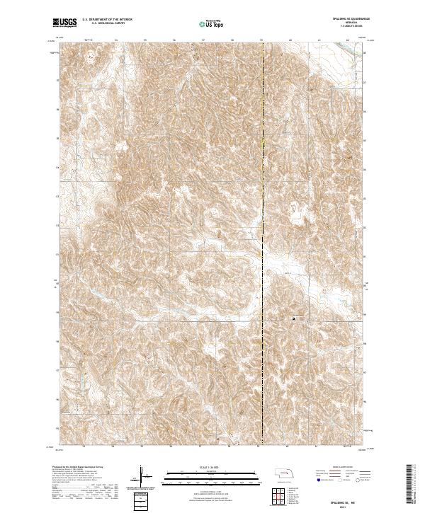
1954 Spalding SE
Greeley County, NE
1954 Spalding SW
Greeley County, NE
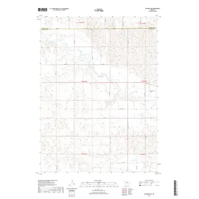
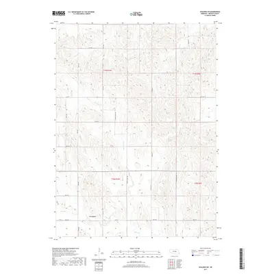
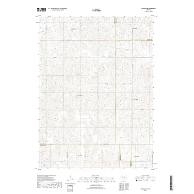
1954 Wolbach NE
Greeley County, NE
2011 Greeley
Greeley County, NE
2011 Greeley NE
Greeley County, NE
2011 Greeley NW
Greeley County, NE
2011 Horace
Greeley County, NE
2011 Scotia NE
Greeley County, NE
2011 Spalding NW
Greeley County, NE
2011 Spalding SE
Greeley County, NE
2011 Spalding SW
Greeley County, NE
2011 Wolbach NE
Greeley County, NE
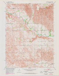
2014 Greeley
Greeley County, NE
2014 Greeley NE
Greeley County, NE
2014 Greeley NW
Greeley County, NE
2014 Horace
Greeley County, NE
2014 Scotia NE
Greeley County, NE
2014 Spalding NW
Greeley County, NE
2014 Spalding SE
Greeley County, NE
2014 Spalding SW
Greeley County, NE
2014 Wolbach NE
Greeley County, NE
2017 Greeley
Greeley County, NE
2017 Greeley NE
Greeley County, NE
2017 Greeley NW
Greeley County, NE
2017 Horace
Greeley County, NE
2017 Scotia NE
Greeley County, NE
2017 Spalding NW
Greeley County, NE
2017 Spalding SE
Greeley County, NE
2017 Spalding SW
Greeley County, NE
2017 Wolbach NE
Greeley County, NE
2021 Greeley
Greeley County, NE
2021 Greeley NE
Greeley County, NE
2021 Greeley NW
Greeley County, NE
2021 Horace
Greeley County, NE
2021 Scotia NE
Greeley County, NE
2021 Spalding NW
Greeley County, NE
2021 Spalding SE
Greeley County, NE
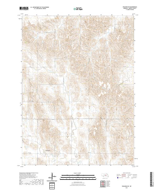
2021 Spalding SW
Greeley County, NE
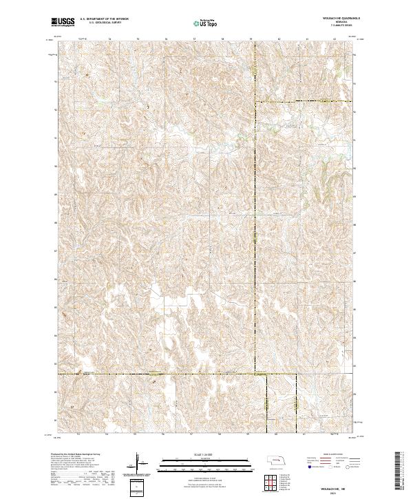
2021 Wolbach NE
Greeley County, NE