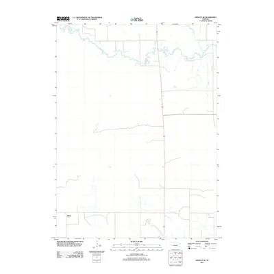
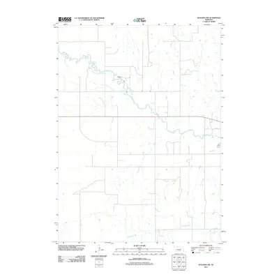
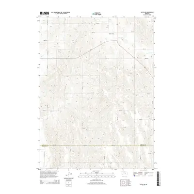
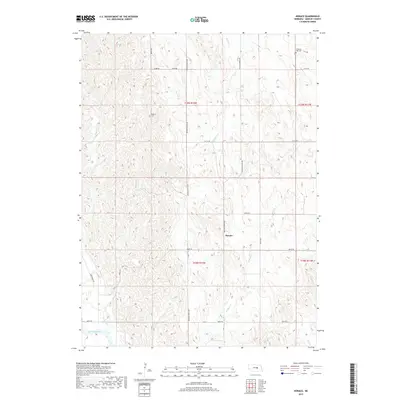
1954 Map of Greeley NW
USGS Topo · Published 1985About this map
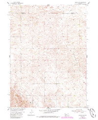
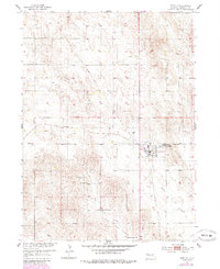
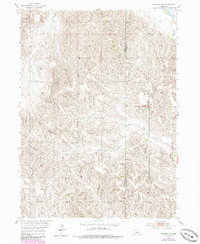
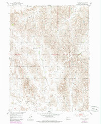
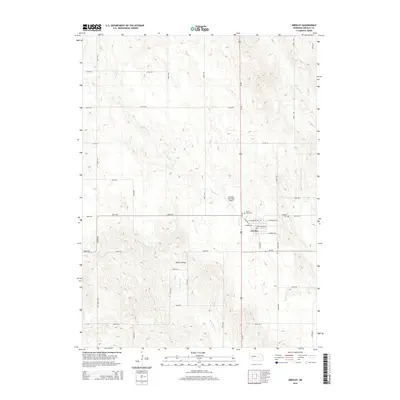
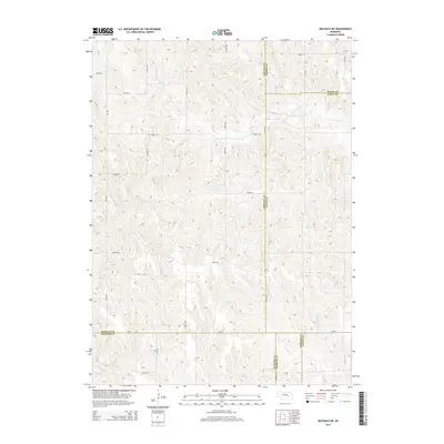
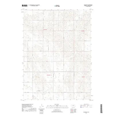
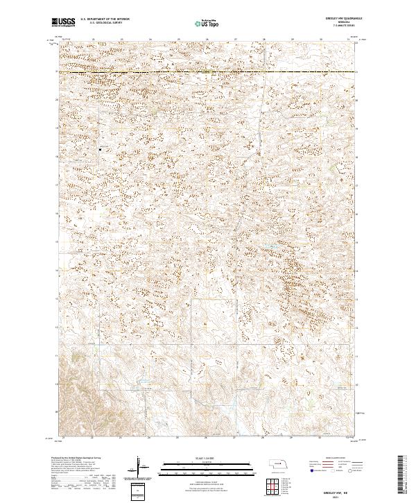
The boundary between Wheeler Co and Greeley Co bisects a landscape defined by sand hills and subtle depressions. This 1954 topographic record, updated through 1985, illustrates a sparsely settled region where human presence is marked by isolated landmarks and transportation remnants. A notable feature of the local topography is the Old Railroad Grade, which angles across the eastern sections, signaling a shift in the local transit network as rails gave way to the surrounding prairie. For those researching family history or early land use in the area, the inclusion of Amity Cem provides a specific point of reference in an otherwise open terrain. The map reflects the agrarian character of the Nebraska sandhills region during the mid-20th century, highlighting the enduring spatial patterns of the Great Plains.
Find a feature on this map
3 named features on this map. Tap any name to fly to it.
Don’t see what you’re looking for? This feature index may not catch every label — zoom into the map to look around manually.
Map Details
Editions of this 1954 Greeley NW Map
3 editions found
Historical Maps of Greeley County Through Time
45 maps found
1953 Scotia NE
Greeley County, NE
1954 Greeley
Greeley County, NE
1954 Greeley NE
Greeley County, NE
1954 Greeley NW
Greeley County, NE
1954 Horace
Greeley County, NE
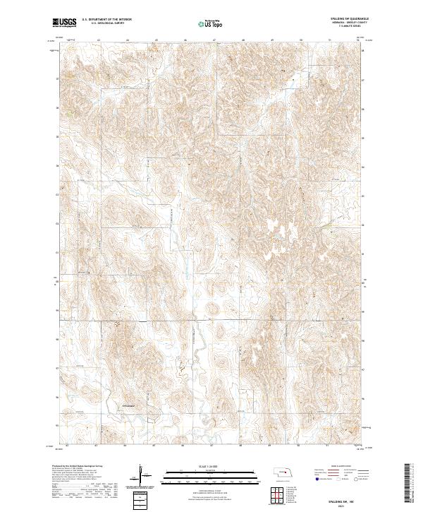
1954 Spalding NW
Greeley County, NE
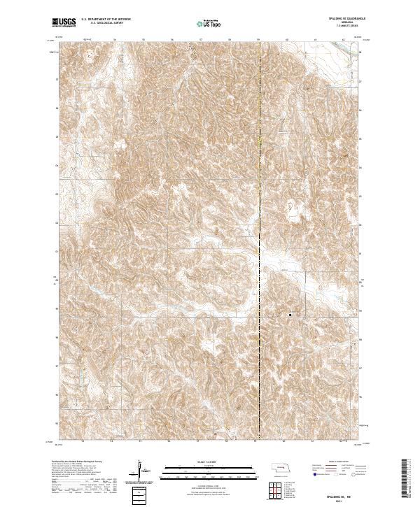
1954 Spalding SE
Greeley County, NE
1954 Spalding SW
Greeley County, NE
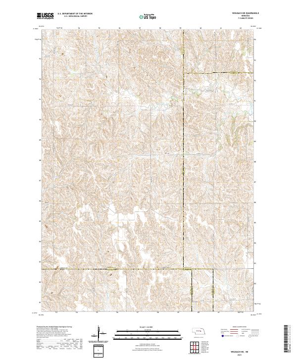
1954 Wolbach NE
Greeley County, NE
2011 Greeley
Greeley County, NE
2011 Greeley NE
Greeley County, NE
2011 Greeley NW
Greeley County, NE
2011 Horace
Greeley County, NE
2011 Scotia NE
Greeley County, NE
2011 Spalding NW
Greeley County, NE
2011 Spalding SE
Greeley County, NE
2011 Spalding SW
Greeley County, NE
2011 Wolbach NE
Greeley County, NE
2014 Greeley
Greeley County, NE
2014 Greeley NE
Greeley County, NE
2014 Greeley NW
Greeley County, NE
2014 Horace
Greeley County, NE
2014 Scotia NE
Greeley County, NE
2014 Spalding NW
Greeley County, NE
2014 Spalding SE
Greeley County, NE
2014 Spalding SW
Greeley County, NE
2014 Wolbach NE
Greeley County, NE
2017 Greeley
Greeley County, NE
2017 Greeley NE
Greeley County, NE
2017 Greeley NW
Greeley County, NE
2017 Horace
Greeley County, NE
2017 Scotia NE
Greeley County, NE
2017 Spalding NW
Greeley County, NE
2017 Spalding SE
Greeley County, NE
2017 Spalding SW
Greeley County, NE
2017 Wolbach NE
Greeley County, NE
2021 Greeley
Greeley County, NE
2021 Greeley NE
Greeley County, NE
2021 Greeley NW
Greeley County, NE
2021 Horace
Greeley County, NE
2021 Scotia NE
Greeley County, NE
2021 Spalding NW
Greeley County, NE
2021 Spalding SE
Greeley County, NE
2021 Spalding SW
Greeley County, NE
2021 Wolbach NE
Greeley County, NE