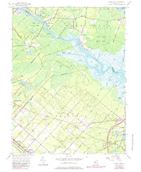
1956 Map of Green Bank
USGS Topo · Published 1979About this map
The Mullica River and its labyrinthine tributaries define this South Jersey landscape, where the tides reach deep into the Green Bank State Forest. This mid-century survey documents the transition from the dense pine barrens of the Wharton Tract to the organized street grids of Germania and Cologne. The map reveals a cluster of settlements along the river's winding course, including Sweetwater, Herman, and Lower Bank, many of which were historically tied to the water and forest resources. In the southwest, the Pennsylvania Reading Seashore Lines cuts through the area, linking the agrarian and residential expansions of Egg Harbor City and Vienna Gardens to the wider region. Local history is etched into the terrain through numerous burial sites, from the Clarks Landing Cem near the riverbanks to the inland Clarks Mill Burying Ground and Boling Cem.
Find a feature on this map
84 named features on this map. Tap any name to fly to it.
Don’t see what you’re looking for? This feature index may not catch every label — zoom into the map to look around manually.
Map Details
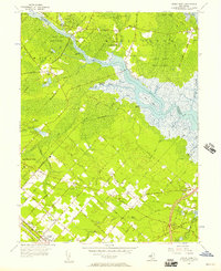
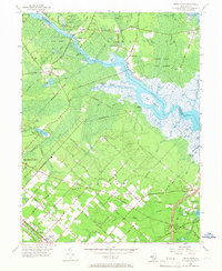
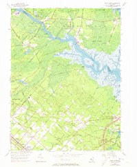
Editions of this 1956 Green Bank Map
4 editions found
Other maps of this area

1887 · Atlantic City
USGS Topo · 1:62,500

1888 · Little Egg Harbor
USGS Topo · 1:62,500

1890 · Great Egg Harbor
USGS Topo · 1:62,500

1890 · Mullica
USGS Topo · 1:62,500

1893 · Great Egg Harbor
USGS Topo · 1:62,500

1893 · Little Egg Harbor
USGS Topo · 1:62,500

1894 · Atlantic City
USGS Topo · 1:62,500

1894 · Mullica
USGS Topo · 1:62,500

1898 · Mullica
USGS Topo · 1:62,500

1900 · Rancocas
USGS Topo · 1:125,000
Featured Places
- Galloway Township, NJ
- Mullica Township, NJ
- Egg Harbor City, NJ
- Bass River Township, NJ
- Port Republic, NJ