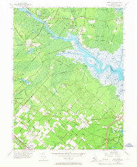
1956 Map of Green Bank
USGS Topo · Published 1967About this map
The Mullica River and its labyrinth of marshy tributaries like Landing Creek and Teal Creek dominate this mid-century portrait of Atlantic and Burlington counties. The landscape transitions from the protected timberlands of Wharton State Forest and Green Bank State Forest in the north to the orderly street grids of Germania and Egg Harbor City in the south. These settlements, often bearing German-inspired street names such as Bremen Ave and Pestalozzi Street, reflect the area's cultural heritage and agricultural development.
Find a feature on this map
75 named features on this map. Tap any name to fly to it.
Don’t see what you’re looking for? This feature index may not catch every label — zoom into the map to look around manually.
Map Details
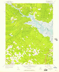
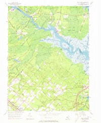
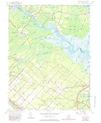
Editions of this 1956 Green Bank Map
4 editions found
Other maps of this area

1887 · Atlantic City
USGS Topo · 1:62,500

1888 · Little Egg Harbor
USGS Topo · 1:62,500

1890 · Great Egg Harbor
USGS Topo · 1:62,500

1890 · Mullica
USGS Topo · 1:62,500

1893 · Great Egg Harbor
USGS Topo · 1:62,500

1893 · Little Egg Harbor
USGS Topo · 1:62,500

1894 · Atlantic City
USGS Topo · 1:62,500

1894 · Mullica
USGS Topo · 1:62,500

1898 · Mullica
USGS Topo · 1:62,500

1900 · Rancocas
USGS Topo · 1:125,000
Featured Places
- Galloway Township, NJ
- Mullica Township, NJ
- Egg Harbor City, NJ
- Bass River Township, NJ
- Port Republic, NJ