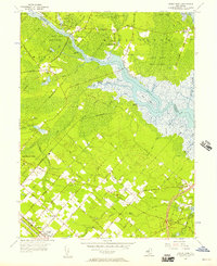
1956 Map of Green Bank
USGS Topo · Published 1957About this map
The Mullica River and its labyrinth of tributaries, including Landing Creek and Teal Creek, dominate this mid-century landscape where Atlantic and Burlington counties meet. Extensive tracts of the Green Bank State Forest and the Wharton Tract suggest a region heavily managed for conservation and timber, while local industry is evidenced by a Cranberry Bog and several gravel pits near Port Republic. The layout of Egg Harbor City and Germania reveals a distinct grid of streets named after European cities, such as Bremen Avenue and Vienna Street, a testament to the planned settlement history of this Pine Barrens region.
Find a feature on this map
73 named features on this map. Tap any name to fly to it.
Don’t see what you’re looking for? This feature index may not catch every label — zoom into the map to look around manually.
Map Details
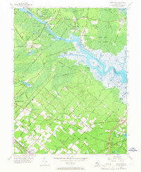
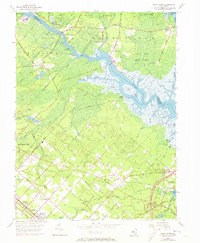
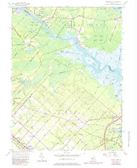
Editions of this 1956 Green Bank Map
4 editions found
Other maps of this area

1887 · Atlantic City
USGS Topo · 1:62,500

1888 · Little Egg Harbor
USGS Topo · 1:62,500

1890 · Great Egg Harbor
USGS Topo · 1:62,500

1890 · Mullica
USGS Topo · 1:62,500

1893 · Great Egg Harbor
USGS Topo · 1:62,500

1893 · Little Egg Harbor
USGS Topo · 1:62,500

1894 · Atlantic City
USGS Topo · 1:62,500

1894 · Mullica
USGS Topo · 1:62,500

1898 · Mullica
USGS Topo · 1:62,500

1900 · Rancocas
USGS Topo · 1:125,000
Featured Places
- Galloway Township, NJ
- Mullica Township, NJ
- Egg Harbor City, NJ
- Bass River Township, NJ
- Port Republic, NJ