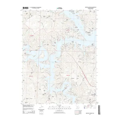
2015 Map of Green Bay Terrace
USGS Topo · Published 2015About this map
Lake of the Ozarks defines this central Missouri landscape, where the meandering shoreline creates complex peninsulas such as Hurricane Deck. The intricate terrain is marked by numerous ridges and hollows, including Deadman Ridge and Standing Rock Hollow, reflecting the region's rugged karst topography. Local history is anchored by the community of Neongwah and the residential developments at Green Bay Terrace, while the southern edge of the map reaches the outskirts of Camdenton. Genealogists and historians will find several rural burial grounds preserved in the hills, such as Farmer Cemetery and Tick Ridge Cemetery. Notable natural features like Lovers Leap Bluff and the groundwater sources at Starling Spring and Morrow Spring highlight the unique hydrologic character of the Ozark Plateau.
Find a feature on this map
206 named features on this map. Tap any name to fly to it.
Don’t see what you’re looking for? This feature index may not catch every label — zoom into the map to look around manually.
Map Details
Editions of this 2015 Green Bay Terrace Map
This is the sole edition of this map. No revisions or reprints were ever made.
Other maps of this area

1888 · Versailles
USGS Topo · 1:125,000

1893 · Versailles
USGS Topo · 1:125,000

1932 · Versailles No 4
USGS Topo · 1:48,000

1933 · Stoutland
USGS Topo · 1:62,500

1934 · Macks Creek
USGS Topo · 1:48,000

1934 · Camdenton
USGS Topo · 1:24,000

1934 · Purvis
USGS Topo · 1:24,000

1934 · Irontown Ferry
USGS Topo · 1:24,000

1934 · Lake Ozark
USGS Topo · 1:24,000

1934 · Green Bay Terrace
USGS Topo · 1:24,000