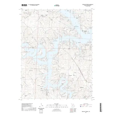
2021 Map of Green Bay Terrace
USGS Topo · Published 2021About this map
Lake of the Ozarks dominates the topography of this Missouri Ozarks sheet, where the intricate shoreline of the Niangua Arm meets a landscape defined by deep hollows and narrow ridges. The settlement pattern shows modern residential development such as Green Bay Terrace and Friedenswald alongside older rural landmarks. Higher ground reveals long-standing geographic features like Arnhold Ridge and Tick Ridge, the latter of which serves as the location for the Tick Ridge Cem.
Find a feature on this map
223 named features on this map. Tap any name to fly to it.
Don’t see what you’re looking for? This feature index may not catch every label — zoom into the map to look around manually.
Map Details
Editions of this 2021 Green Bay Terrace Map
This is the sole edition of this map. No revisions or reprints were ever made.
Other maps of this area

1888 · Versailles
USGS Topo · 1:125,000

1893 · Versailles
USGS Topo · 1:125,000

1932 · Versailles No 4
USGS Topo · 1:48,000

1933 · Stoutland
USGS Topo · 1:62,500

1934 · Macks Creek
USGS Topo · 1:48,000

1934 · Camdenton
USGS Topo · 1:24,000

1934 · Purvis
USGS Topo · 1:24,000

1934 · Irontown Ferry
USGS Topo · 1:24,000

1934 · Lake Ozark
USGS Topo · 1:24,000

1934 · Green Bay Terrace
USGS Topo · 1:24,000