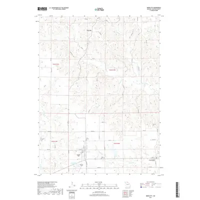
2017 Map of Green City
USGS Topo · Published 2017About this map
Green City and Greencastle anchor the southern portion of this landscape, where the agricultural uplands of Sullivan County transition into a dense network of creek valleys. The area is defined by the Mussel Fork and its various tributaries, including Spears Br and Bookout Br, which carve through the terrain. Evidence of community history is preserved in several rural burial grounds such as Mount Olive Cem and Hawkeye Cem, while more modern infrastructure is visible at the Widmark Airport and the Green City Large Reservoir. North of the main settlements, the hamlet of Pennville sits amidst a web of local routes like Juniper Rd and Key Rd, reflecting the long-standing rural road patterns that have connected these Missouri townships for generations.
Find a feature on this map
63 named features on this map. Tap any name to fly to it.
Don’t see what you’re looking for? This feature index may not catch every label — zoom into the map to look around manually.
Map Details
Editions of this 2017 Green City Map
This is the sole edition of this map. No revisions or reprints were ever made.
Other maps of this area
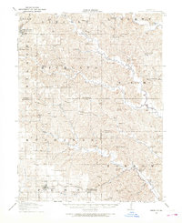
1912 · Green City
USGS Topo · 1:62,500
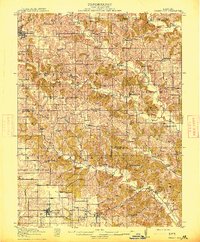
1914 · Green City
USGS Topo · 1:62,500

1954 · Centerville
USGS Topo · 1:250,000
1957 · Centerville
USGS Topo · 1:250,000
1958 · Centerville
USGS Topo · 1:250,000
1963 · Pure Air
USGS Topo · 1:24,000
1963 · Mystic
USGS Topo · 1:24,000
1964 · Milan East
USGS Topo · 1:24,000
1964 · Unionville West
USGS Topo · 1:24,000
1964 · Pollock
USGS Topo · 1:24,000