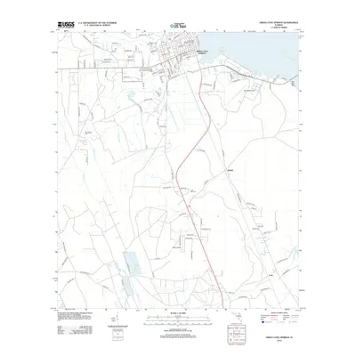
2012 Map of Green Cove Springs
USGS Topo · Published 2012About this map
The Saint Johns River shoreline defines the eastern edge of this landscape, where the Green Cove Springs Marina and Red Bay indicate the importance of the water to the local economy and recreation. In the city of Green Cove Springs, a dense street grid surrounds civic landmarks such as the Po and the Jacksonville Memory Gardens. Moving south and west, the terrain transitions into a network of creeks, including Governors Cr and Peters Cr, interspersed with rural settlements and airfields.
Find a feature on this map
110 named features on this map. Tap any name to fly to it.
Don’t see what you’re looking for? This feature index may not catch every label — zoom into the map to look around manually.
Map Details
Editions of this 2012 Green Cove Springs Map
This is the sole edition of this map. No revisions or reprints were ever made.
Other maps of this area

1917 · Orange Park
USGS Topo · 1:62,500

1918 · Middleburg
USGS Topo · 1:62,500

1918 · Orange Park
USGS Topo · 1:62,500

1941 · Middleburg
USGS Topo · 1:62,500

1942 · Ates Creek
USGS Topo · 1:62,500

1947 · Bostwick
USGS Topo · 1:50,000

1948 · Jacksonville
USGS Topo · 1:250,000

1949 · Rice Creek
USGS Topo · 1:24,000

1949 · Bostwick
USGS Topo · 1:24,000

1949 · Green Cove Springs
USGS Topo · 1:24,000