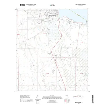
2018 Map of Green Cove Springs
USGS Topo · Published 2018About this map
Green Cove Springs anchors this survey of eastern Clay County along the west bank of the Saint Johns River. The map shows a transition from the structured residential grid of the city, with streets like Martin Luther King Jr Blvd and Ferris St, to the marshy lowlands and pine forests to the south and west. Local history is deeply embedded in the landscape through several burial grounds, including the historic Mount Olive Cem and Hickory Grove Cem, as well as the more modern Holly Hill Memorial Park and Mausoleum. Aviation history is visible at Reynolds Airpark near Red Bay, while smaller settlements like Walkill and Leno mark the interior. The drainage patterns of Governors Creek and Peters Cr illustrate the hydrological character of this riverine corridor during the late 2010s.
Find a feature on this map
113 named features on this map. Tap any name to fly to it.
Don’t see what you’re looking for? This feature index may not catch every label — zoom into the map to look around manually.
Map Details
Editions of this 2018 Green Cove Springs Map
This is the sole edition of this map. No revisions or reprints were ever made.
Other maps of this area

1917 · Orange Park
USGS Topo · 1:62,500

1918 · Middleburg
USGS Topo · 1:62,500

1918 · Orange Park
USGS Topo · 1:62,500

1941 · Middleburg
USGS Topo · 1:62,500

1942 · Ates Creek
USGS Topo · 1:62,500

1947 · Bostwick
USGS Topo · 1:50,000

1948 · Jacksonville
USGS Topo · 1:250,000

1949 · Rice Creek
USGS Topo · 1:24,000

1949 · Bostwick
USGS Topo · 1:24,000

1949 · Green Cove Springs
USGS Topo · 1:24,000