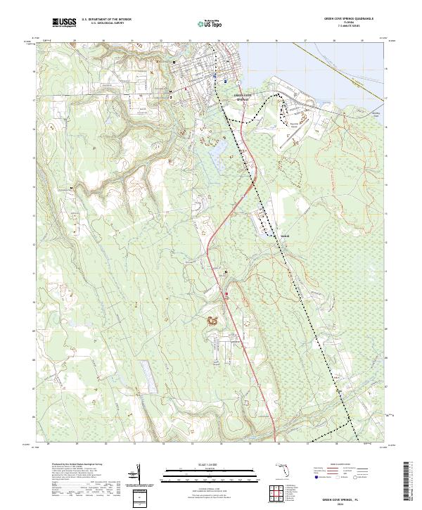
2024 Map of Green Cove Springs
USGS Topo · Published 2024About this map
The Saint Johns River forms the eastern boundary of this Clay County landscape, where the established streets of Green Cove Springs give way to smaller settlements like Walkill and Leno. Significant genealogical value is found in the distribution of community burial grounds, including Mount Olive Cem, Old Hickory Grove Cem, and Little Ruth Cem, which anchor the rural sections between the river and the inland marshes. The area's character is defined by a network of drainage systems like Governors Creek and Peters Creek, which move through the lowlands toward the main river. Transportation and leisure patterns are evident in the proximity of aviation facilities like Reynolds Airpark and the recreational paths of the St. Johns River Blueway Trl. The map documents a blend of residential growth and preserved natural spaces, particularly within the Bayard Conservation Area Trl along the river's edge.
Find a feature on this map
116 named features on this map. Tap any name to fly to it.
Don’t see what you’re looking for? This feature index may not catch every label — zoom into the map to look around manually.
Map Details
Editions of this 2024 Green Cove Springs Map
This is the sole edition of this map. No revisions or reprints were ever made.
Historical Maps of Green Cove Springs Through Time
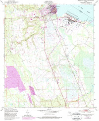
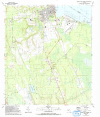
3 maps found