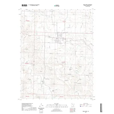
2020 Map of Green Forest
USGS Topo · Published 2020About this map
Green Forest serves as the primary hub for this portion of Carroll County, with its residential grid and cemeteries like Glenwood Cem and Norris Cem anchoring the community. The surrounding countryside is defined by an intricate network of hollows and ridges, where family-named landmarks such as Brawley Hollow and Hoppins Hollow suggest a long history of local settlement. To the south, the village of Rule sits near the headwaters of Osage Creek, while the landscape to the west is dominated by prominent heights including Anderson Mtn and Crystal Mtn.
Find a feature on this map
124 named features on this map. Tap any name to fly to it.
Don’t see what you’re looking for? This feature index may not catch every label — zoom into the map to look around manually.
Map Details
Editions of this 2020 Green Forest Map
This is the sole edition of this map. No revisions or reprints were ever made.
Other maps of this area

1900 · Eureka Springs
USGS Topo · 1:125,000

1901 · Eureka Springs
USGS Topo · 1:125,000

1904 · Harrison
USGS Topo · 1:125,000

1905 · Harrison
USGS Topo · 1:125,000

1945 · Harrison
USGS Topo · 1:250,000

1949 · Harrison
USGS Topo · 1:250,000

1954 · Harrison
USGS Topo · 1:250,000

1958 · Harrison
USGS Topo · 1:250,000

1964 · Harrison
USGS Topo · 1:250,000
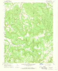
1968 · Osage NE
USGS Topo · 1:24,000