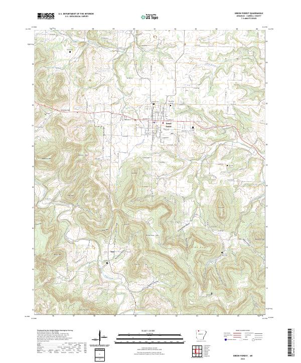
2024 Map of Green Forest
USGS Topo · Published 2024About this map
Green Forest serves as the central hub of this Carroll County landscape, where the street grid of W Main St and E Main St meets the winding paths of rural roads. The area is defined by a series of prominent peaks and deep hollows, including Bradshaw Mtn and Mack Hollow, which dictate the placement of farms and small settlements. To the south, the community of Rule sits near the headwaters of Osage Creek, illustrating the remote character of these upland Arkansas townships.
Find a feature on this map
125 named features on this map. Tap any name to fly to it.
Don’t see what you’re looking for? This feature index may not catch every label — zoom into the map to look around manually.
Map Details
Editions of this 2024 Green Forest Map
This is the sole edition of this map. No revisions or reprints were ever made.
Other maps of this area

1900 · Eureka Springs
USGS Topo · 1:125,000

1901 · Eureka Springs
USGS Topo · 1:125,000

1904 · Harrison
USGS Topo · 1:125,000

1905 · Harrison
USGS Topo · 1:125,000

1945 · Harrison
USGS Topo · 1:250,000

1949 · Harrison
USGS Topo · 1:250,000

1954 · Harrison
USGS Topo · 1:250,000

1958 · Harrison
USGS Topo · 1:250,000

1964 · Harrison
USGS Topo · 1:250,000
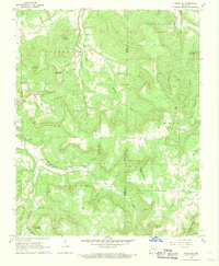
1968 · Osage NE
USGS Topo · 1:24,000