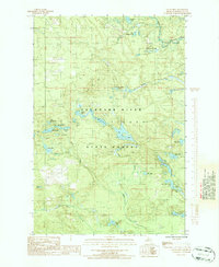
1986 Map of Green Hills
USGS Topo · Published 1986About this map
Escanaba River State Forest covers much of this Marquette County landscape, where the upper reaches of the Escanaba River and its numerous tributaries dominate the terrain. The map documents a heavily glaciated region characterized by dense clusters of small lakes and interconnected wetlands, particularly visible around the Chain Lakes and Charley Lakes systems. This 1980s field study captures the area's transition into managed wilderness, where the remnants of former industrial activity are still legible on the land. An Old R.R. Grade cuts through the southwest portion of the quadrangle near Camp Eleven Creek, tracing a path once used for logging or mining operations. The network of unimproved roads and trails provides access to named landmarks like the Green Hills and remote water bodies such as Voelker Lake and Kidney Lake, showing the area's continued use for resource management and back-country navigation.
Find a feature on this map
32 named features on this map. Tap any name to fly to it.
Don’t see what you’re looking for? This feature index may not catch every label — zoom into the map to look around manually.
Map Details
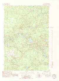
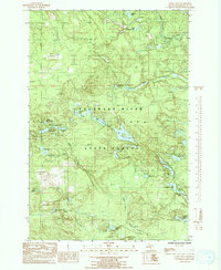
Editions of this 1986 Green Hills Map
3 editions found
Other maps of this area

1952 · Ishpeming
USGS Topo · 1:62,500

1952 · Ishpeming
USGS Topo · 1:24,000

1952 · Palmer
USGS Topo · 1:24,000

1955 · Ralph NE
USGS Topo · 1:24,000

1955 · Greenwood
USGS Topo · 1:24,000

1955 · Republic
USGS Topo · 1:62,500

1955 · Ralph
USGS Topo · 1:62,500

1957 · Northland
USGS Topo · 1:62,500

1958 · Marquette
USGS Topo · 1:250,000

1960 · Marquette
USGS Topo · 1:250,000