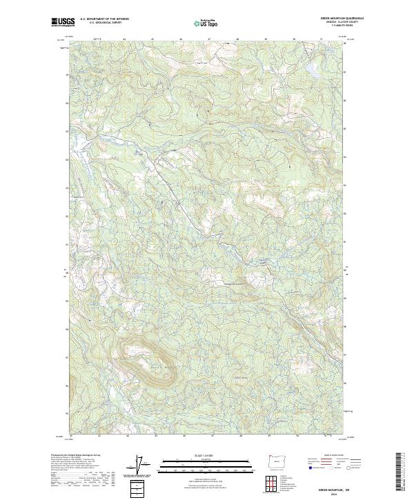
2024 Map of Green Mountain
USGS Topo · Published 2024About this map
The Klaskanine River and its complex network of tributaries define this part of Clatsop County, where the north, south, and middle forks converge amidst the coastal timberlands. The landscape is marked by significant elevations like Green Mountain and Snow Point, with the historic Glazers Grade and Klaskanine Summit serving as notable landmarks in the terrain. The presence of roads such as the Youngs River Mainline and California Barrel Rd points to the area's long-standing connection to the logging industry and forest management. Water features like Barth Falls and several small creeks including Waterworks Creek and John Day Creek illustrate the drainage patterns that have shaped local geography. This 2024 survey captures the region's current configuration of access roads and natural watercourses, providing a clear view of how modern forestry infrastructure interacts with the headwaters of the coastal river system.
Find a feature on this map
35 named features on this map. Tap any name to fly to it.
Don’t see what you’re looking for? This feature index may not catch every label — zoom into the map to look around manually.
Map Details
Editions of this 2024 Green Mountain Map
This is the sole edition of this map. No revisions or reprints were ever made.
Other maps of this area

1919 · Astoria
USGS Topo · 1:62,500

1939 · Astoria
USGS Topo · 1:62,500

1939 · Saddle Mountain
USGS Topo · 1:62,500

1940 · Svensen
USGS Topo · 1:62,500

1940 · Cape Falcon
USGS Topo · 1:62,500

1943 · Saddle Mtn.
USGS Topo · 1:62,500

1948 · Vancouver
USGS Topo · 1:250,000

1949 · Astoria
USGS Topo · 1:24,000

1949 · Cathlamet Bay
USGS Topo · 1:24,000

1949 · Green Mountain
USGS Topo · 1:24,000