
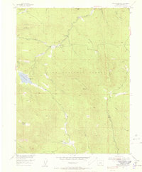
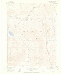
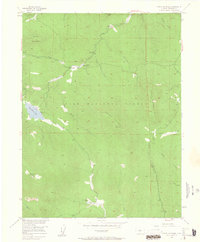
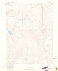
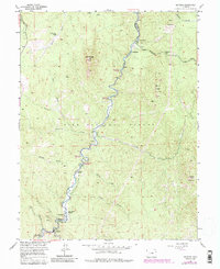
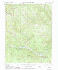
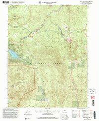
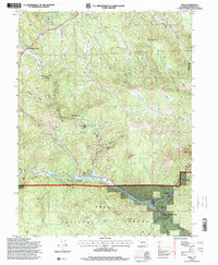
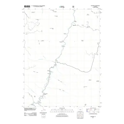
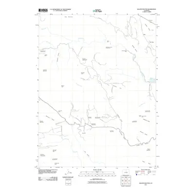
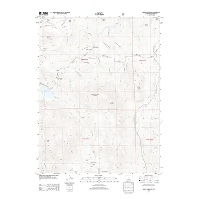
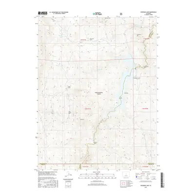
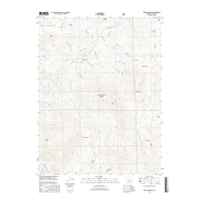
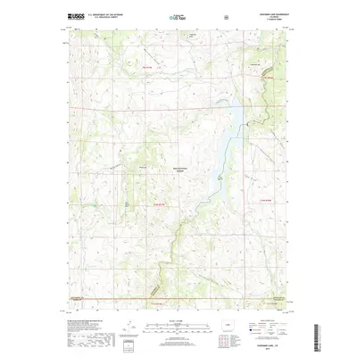
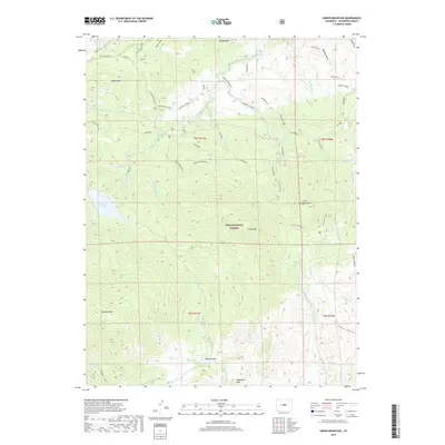
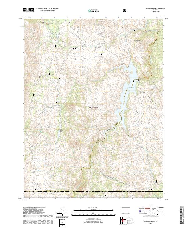
1954 Map of Green Mountain
USGS Topo · Published 1985About this map
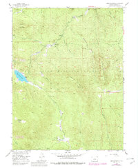
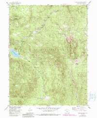
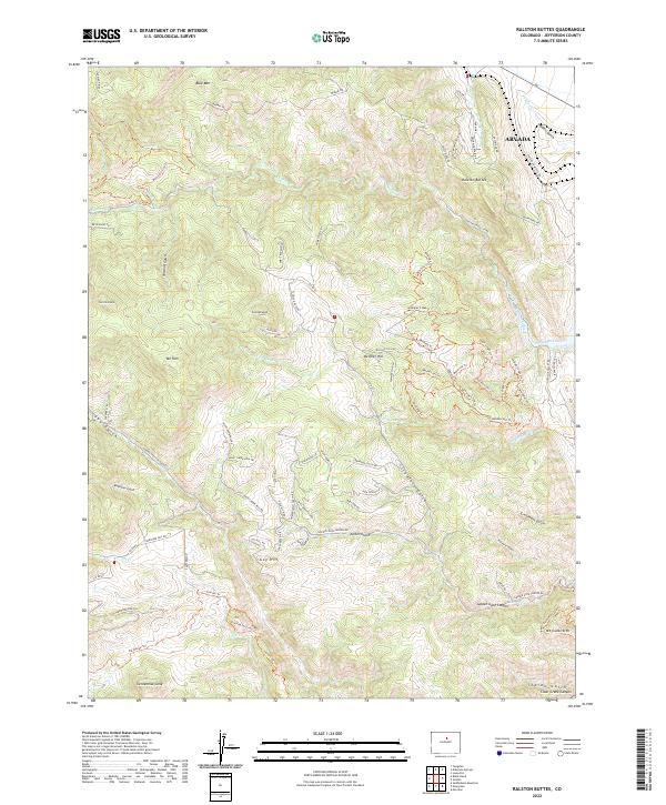
Pike National Forest dominates this mid-century landscape, characterized by a network of drainage gulches and high peaks that define the geography of the Missouri River Basin development area. The terrain is marked by significant elevations like Redskin Mountain and Green Mountain, with the southern portion dedicated to the Lost Creek Wilderness surrounding Buffalo Peak. Outdoor recreation and forestry management are central themes, evidenced by the cluster of sites such as the Buffalo Creek Picnic Area, Baldy Campground, and Tramway Campground along the northern watercourses.
Find a feature on this map
34 named features on this map. Tap any name to fly to it.
Don’t see what you’re looking for? This feature index may not catch every label — zoom into the map to look around manually.
Map Details
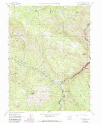
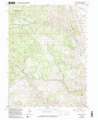
Editions of this 1954 Green Mountain Map
10 editions found
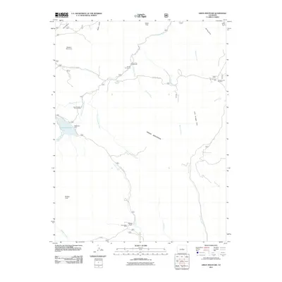
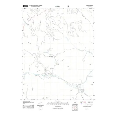
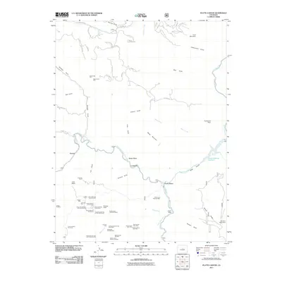
Historical Maps of Jefferson County Through Time
66 maps found

1906 Blackhawk
Jefferson County, CO

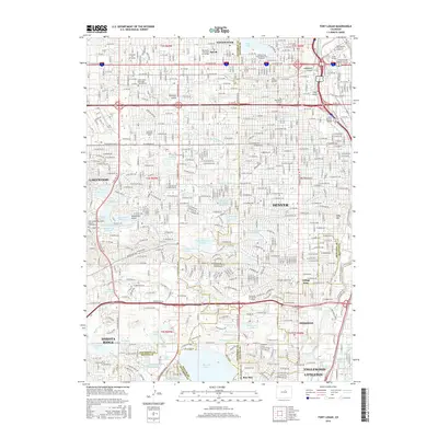
1941 Fort Logan
Jefferson County, CO

1942 Ralston Buttes
Jefferson County, CO

1944 Ralston Buttes
Jefferson County, CO
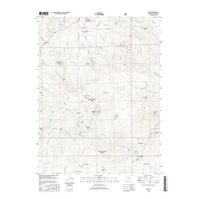
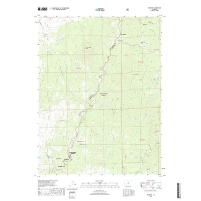
1945 Pine
Jefferson County, CO
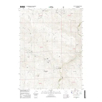
1945 Platte Canyon
Jefferson County, CO

1948 Fort Logan
Jefferson County, CO

1948 Pine
Jefferson County, CO
1948 Platte Canyon
Jefferson County, CO

1948 Ralston Buttes
Jefferson County, CO
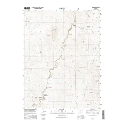
1954 Deckers
Jefferson County, CO
1954 Green Mountain
Jefferson County, CO
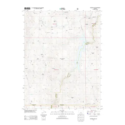
1956 Cheesman Lake
Jefferson County, CO

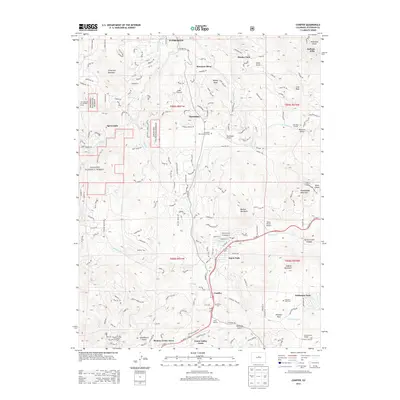
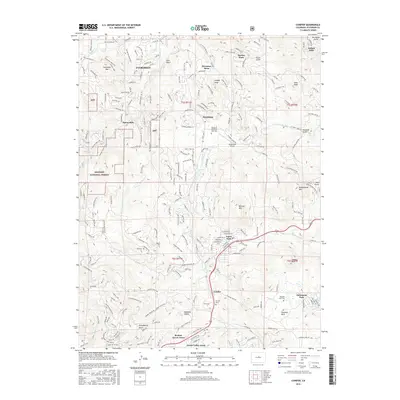
1957 Conifer
Jefferson County, CO

1957 Fort Logan
Jefferson County, CO
1965 Conifer
Jefferson County, CO
1965 Fort Logan
Jefferson County, CO
1965 Pine
Jefferson County, CO
1965 Platte Canyon
Jefferson County, CO
1965 Ralston Buttes
Jefferson County, CO
1983 Denver West
Jefferson County, CO

1994 Cheesman Lake
Jefferson County, CO

1994 Deckers
Jefferson County, CO
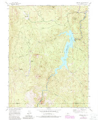
1994 Green Mountain
Jefferson County, CO
1994 Pine
Jefferson County, CO

1994 Platte Canyon
Jefferson County, CO
2011 Cheesman Lake
Jefferson County, CO
2011 Conifer
Jefferson County, CO
2011 Deckers
Jefferson County, CO

2011 Fort Logan
Jefferson County, CO
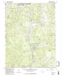
2011 Green Mountain
Jefferson County, CO
2011 Pine
Jefferson County, CO
2011 Platte Canyon
Jefferson County, CO
2011 Ralston Buttes
Jefferson County, CO
2013 Cheesman Lake
Jefferson County, CO
2013 Conifer
Jefferson County, CO
2013 Deckers
Jefferson County, CO

2013 Fort Logan
Jefferson County, CO
2013 Green Mountain
Jefferson County, CO
2013 Pine
Jefferson County, CO
2013 Platte Canyon
Jefferson County, CO
2013 Ralston Buttes
Jefferson County, CO
2016 Cheesman Lake
Jefferson County, CO
2016 Conifer
Jefferson County, CO
2016 Deckers
Jefferson County, CO
2016 Fort Logan
Jefferson County, CO
2016 Green Mountain
Jefferson County, CO
2016 Pine
Jefferson County, CO
2016 Platte Canyon
Jefferson County, CO
2016 Ralston Buttes
Jefferson County, CO
2019 Cheesman Lake
Jefferson County, CO
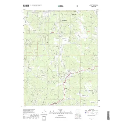
2019 Conifer
Jefferson County, CO
2019 Deckers
Jefferson County, CO
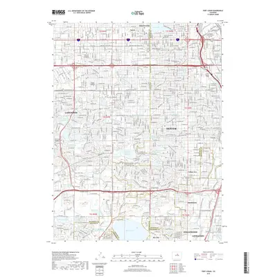
2019 Fort Logan
Jefferson County, CO
2019 Green Mountain
Jefferson County, CO
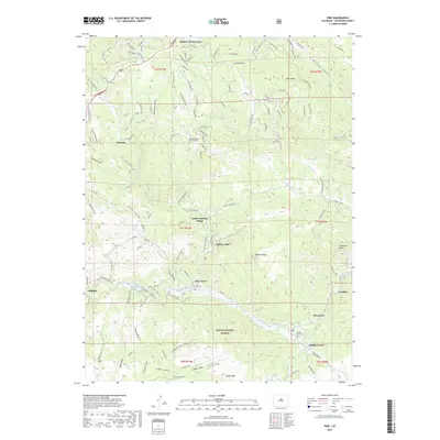
2019 Pine
Jefferson County, CO
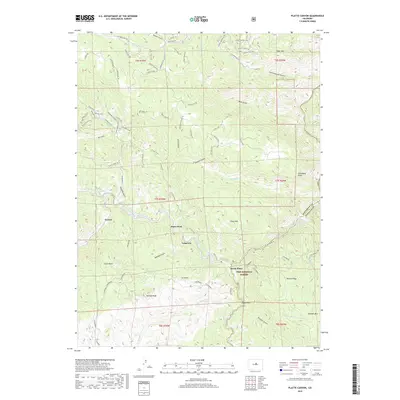
2019 Platte Canyon
Jefferson County, CO
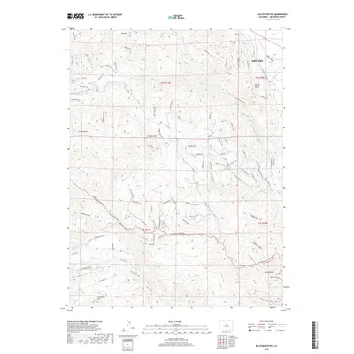
2019 Ralston Buttes
Jefferson County, CO
2022 Cheesman Lake
Jefferson County, CO
2022 Conifer
Jefferson County, CO
2022 Deckers
Jefferson County, CO

2022 Fort Logan
Jefferson County, CO
2022 Green Mountain
Jefferson County, CO

2022 Pine
Jefferson County, CO

2022 Platte Canyon
Jefferson County, CO
2022 Ralston Buttes
Jefferson County, CO