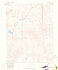
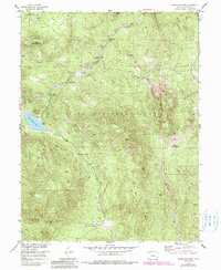
1954 Map of Green Mountain
USGS Topo · Published 1962About this map
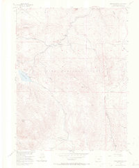
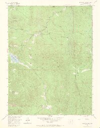
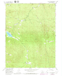
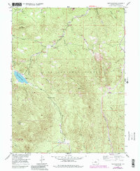
Pike National Forest dominates this mid-century survey of the Colorado front range, where the high-altitude landscape is defined by dramatic peaks and complex drainage networks. Prominent summits including Redskin Mountain, Little Scraggy Peak, and Buffalo Peak rise above the terrain, while Wellington Lake provides a central water feature fed by Rolling Creek and Freeman Creek.
Find a feature on this map
27 named features on this map. Tap any name to fly to it.
Don’t see what you’re looking for? This feature index may not catch every label — zoom into the map to look around manually.
Map Details
Editions of this 1954 Green Mountain Map
10 editions found
Other maps of this area

1893 · Platte Canyon
USGS Topo · 1:125,000

1945 · Platte Canyon
USGS Topo · 1:24,000

1945 · Pine
USGS Topo · 1:24,000

1945 · Bailey
USGS Topo · 1:24,000

1948 · Pine
USGS Topo · 1:24,000

1948 · Platte Canyon
USGS Topo · 1:24,000

1949 · Bailey
USGS Topo · 1:24,000

1953 · Denver
USGS Topo · 1:250,000

1954 · Deckers
USGS Topo · 1:24,000

1954 · Green Mountain
USGS Topo · 1:24,000