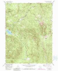
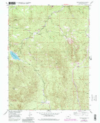
1954 Map of Green Mountain
USGS Topo · Published 1985About this map
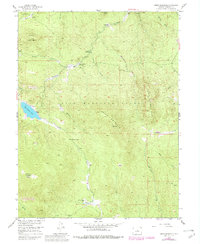
Pike National Forest dominates this mid-century Colorado landscape, where the high-altitude topography of the Front Range is defined by significant elevations like Green Mountain and Redskin Mountain. A distinct network of watercourses, including Redskin Creek and Buffalo Creek, carves through the terrain, supporting several designated recreational sites such as Tramway Campground and Redskin Group Campground. The presence of an Old Mill near Miller Gulch and the remote Webster Park in the southern portion suggests the area's legacy of early industrial and agricultural activity.
Find a feature on this map
26 named features on this map. Tap any name to fly to it.
Don’t see what you’re looking for? This feature index may not catch every label — zoom into the map to look around manually.
Map Details
Editions of this 1954 Green Mountain Map
10 editions found
Other maps of this area

1893 · Platte Canyon
USGS Topo · 1:125,000

1945 · Platte Canyon
USGS Topo · 1:24,000

1945 · Pine
USGS Topo · 1:24,000

1945 · Bailey
USGS Topo · 1:24,000

1948 · Pine
USGS Topo · 1:24,000

1948 · Platte Canyon
USGS Topo · 1:24,000

1949 · Bailey
USGS Topo · 1:24,000

1953 · Denver
USGS Topo · 1:250,000

1954 · Deckers
USGS Topo · 1:24,000

1954 · Green Mountain
USGS Topo · 1:24,000