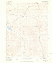
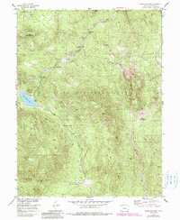
1954 Map of Green Mountain
USGS Topo · Published 1955About this map
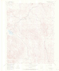
Pike National Forest encompasses this high-altitude landscape in the mid-1950s, centered on the prominent heights of Green Mountain. The terrain is defined by a complex network of drainages, where Buffalo Creek and its tributaries like Tramway Creek and Morrison Creek cut through the steep topography. Human presence is concentrated in specialized enclaves such as the Clayton College Boys Camp and Dream Valley Ranch near Webster Park, reflecting the region's development as a site for seasonal recreation and institutional retreats rather than dense urban settlement.
Find a feature on this map
32 named features on this map. Tap any name to fly to it.
Don’t see what you’re looking for? This feature index may not catch every label — zoom into the map to look around manually.
Map Details
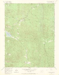
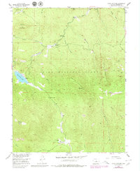
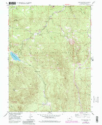
Editions of this 1954 Green Mountain Map
10 editions found
Other maps of this area

1893 · Platte Canyon
USGS Topo · 1:125,000

1945 · Platte Canyon
USGS Topo · 1:24,000

1945 · Pine
USGS Topo · 1:24,000

1945 · Bailey
USGS Topo · 1:24,000

1948 · Pine
USGS Topo · 1:24,000

1948 · Platte Canyon
USGS Topo · 1:24,000

1949 · Bailey
USGS Topo · 1:24,000

1953 · Denver
USGS Topo · 1:250,000

1954 · Deckers
USGS Topo · 1:24,000

1954 · Green Mountain
USGS Topo · 1:24,000