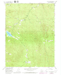
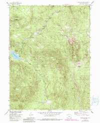
1954 Map of Green Mountain
USGS Topo · Published 1979About this map
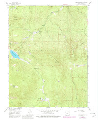
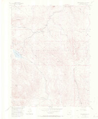
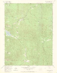
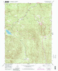
Pike National Forest covers much of this mid-century landscape in the Colorado Front Range, where high peaks and gulches define the topography. The 1950s survey captures a transition toward recreational and specialized land use, evidenced by the Clayton College Boys Camp and several campgrounds like Buffalo Creek Campground and Spruce Grove Campground. Industrial history is represented by the Eos Mill located near Buck Gulch, while larger bodies of water such as Wellington Lake serve as local anchors. The map traces a complex network of drainages including Buffalo Creek, Redskin Creek, and Tramway Creek as they wind between summits like Buffalo Peak and Green Mountain. Smaller settlements and private lands such as Dream Valley Ranch and Webster Park appear at the southern edge, providing specific data points for local family historians and land-use researchers.
Find a feature on this map
30 named features on this map. Tap any name to fly to it.
Don’t see what you’re looking for? This feature index may not catch every label — zoom into the map to look around manually.
Map Details
Editions of this 1954 Green Mountain Map
10 editions found
Other maps of this area

1893 · Platte Canyon
USGS Topo · 1:125,000

1945 · Platte Canyon
USGS Topo · 1:24,000

1945 · Pine
USGS Topo · 1:24,000

1945 · Bailey
USGS Topo · 1:24,000

1948 · Pine
USGS Topo · 1:24,000

1948 · Platte Canyon
USGS Topo · 1:24,000

1949 · Bailey
USGS Topo · 1:24,000

1953 · Denver
USGS Topo · 1:250,000

1954 · Deckers
USGS Topo · 1:24,000

1954 · Green Mountain
USGS Topo · 1:24,000