
1965 Map of Green Mountain
USGS Topo · Published 1968About this map
Teton National Forest dominates this mid-1960s landscape, where high-elevation drainage systems and pack trails define the topography. The map details a complex network of waterways feeding into South Fork Spread Creek, including Nation Creek, Sohare Creek, and Leidy Creek. Evidence of resource exploration is scattered across the northwest quadrant, marked by several Wells, a Drill Hole, and a Flowing Well, indicating early attempts to tap the geology of the region.
Find a feature on this map
28 named features on this map. Tap any name to fly to it.
Don’t see what you’re looking for? This feature index may not catch every label — zoom into the map to look around manually.
Map Details
Editions of this 1965 Green Mountain Map
This is the sole edition of this map. No revisions or reprints were ever made.
Other maps of this area

1902 · Mt Leidy
USGS Topo · 1:125,000

1955 · Driggs
USGS Topo · 1:250,000

1958 · Driggs
USGS Topo · 1:250,000

1962 · Driggs
USGS Topo · 1:250,000

1965 · Davis Hill
USGS Topo · 1:24,000

1965 · Rosies Ridge
USGS Topo · 1:24,000

1965 · Mount Leidy
USGS Topo · 1:24,000
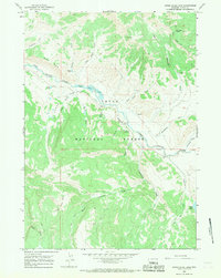
1965 · Upper Slide Lake
USGS Topo · 1:24,000

1965 · Tripod Peak
USGS Topo · 1:24,000
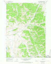
1965 · Burnt Mountain
USGS Topo · 1:24,000