
1965 Map of Davis Hill
USGS Topo · Published 1968About this map
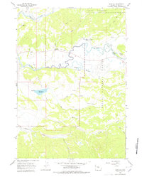
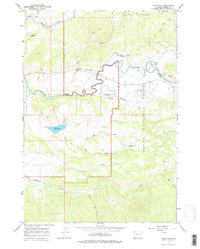
The ranching landscape of northwestern Wyoming is captured here during the mid-1960s, where the winding Buffalo Fork meets a complex network of glacial and alluvial terrain. Established properties like Three Rivers Ranch, Buffalo Valley Ranch, and Heart Six Ranch are situated along the river valley, marking the intersection of private holdings with the surrounding Teton National Forest and Grand Teton National Park. The map documents the water management and resource extraction of the era, from the Elk Ranch Reservoir with its spillway to the distinct Coal Mine Draw and various mines and prospects located south of the river. This survey provides a look at the transition from commercial ranching to recreation, evidenced by the Lava Creek Campground and numerous pack trails leading into the Teton Wilderness.
Find a feature on this map
31 named features on this map. Tap any name to fly to it.
Don’t see what you’re looking for? This feature index may not catch every label — zoom into the map to look around manually.
Map Details
Editions of this 1965 Davis Hill Map
3 editions found
Other maps of this area

1899 · Grand Teton
USGS Topo · 1:125,000

1901 · Grand Teton
USGS Topo · 1:125,000

1902 · Mt Leidy
USGS Topo · 1:125,000

1955 · Driggs
USGS Topo · 1:250,000

1958 · Driggs
USGS Topo · 1:250,000

1962 · Driggs
USGS Topo · 1:250,000

1965 · Green Mountain
USGS Topo · 1:24,000

1965 · Rosies Ridge
USGS Topo · 1:24,000

1965 · Mount Leidy
USGS Topo · 1:24,000
1965 · Whetstone Mountain
USGS Topo · 1:24,000