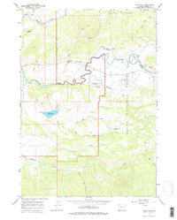
1965 Map of Davis Hill
USGS Topo · Published 1978About this map
Three Rivers Ranch and the Buffalo Valley Ranch anchor the northern reaches of this mid-1960s landscape, situated where the Buffalo Fork and Pacific Creek wind through the Teton region. The map captures a moment of established land use patterns, from cattle ranching to the early recreational footprint at Lava Creek Campground. The terrain is defined by dramatic elevation changes, with Davis Hill and Burro Hill overlooking the meandering river valleys below.
Find a feature on this map
29 named features on this map. Tap any name to fly to it.
Don’t see what you’re looking for? This feature index may not catch every label — zoom into the map to look around manually.
Map Details
Editions of this 1965 Davis Hill Map
3 editions found
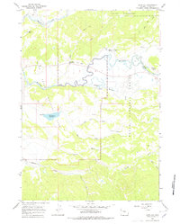
Other maps of this area

1899 · Grand Teton
USGS Topo · 1:125,000

1901 · Grand Teton
USGS Topo · 1:125,000

1902 · Mt Leidy
USGS Topo · 1:125,000

1955 · Driggs
USGS Topo · 1:250,000

1958 · Driggs
USGS Topo · 1:250,000

1962 · Driggs
USGS Topo · 1:250,000

1965 · Davis Hill
USGS Topo · 1:24,000

1965 · Green Mountain
USGS Topo · 1:24,000

1965 · Rosies Ridge
USGS Topo · 1:24,000

1965 · Mount Leidy
USGS Topo · 1:24,000