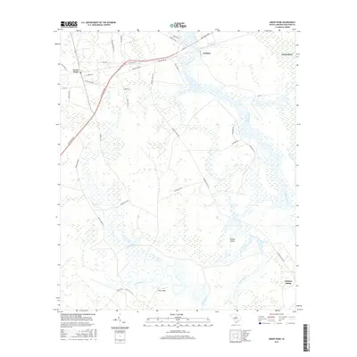
2017 Map of Green Pond
USGS Topo · Published 2017About this map
Green Pond and the surrounding Colleton County lowcountry are defined by the winding course of the Ashepoo River and its vast network of wetlands and creeks. This coastal landscape is structured by the Ace Basin Pkwy, which cuts through the region near Ashepoo and Jacksonboro. The presence of features like Minkey Island and Tilly Island at the southern edge, where the Chehaw River and Social Hall Cr converge, highlights the intricate riverine geography that has shaped local life and transportation for generations. Inland, a web of named rural routes such as Bennetts Point Rd, Mount Olive Rd, and Blocker Run Rd connect dispersed homesteads and hunting lands. These roads often bear family or descriptive names like Ivenia Brown Rd and Poco Sabo Ln, providing valuable geographic markers for those tracing family history in this corner of the South Carolina ACE Basin.
Find a feature on this map
36 named features on this map. Tap any name to fly to it.
Don’t see what you’re looking for? This feature index may not catch every label — zoom into the map to look around manually.
Map Details
Editions of this 2017 Green Pond Map
This is the sole edition of this map. No revisions or reprints were ever made.
Other maps of this area
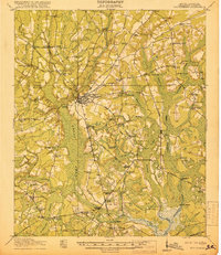
1918 · Walterboro
USGS Topo · 1:62,500
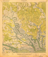
1918 · Green Pond
USGS Topo · 1:62,500
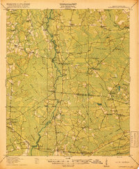
1918 · Cottageville
USGS Topo · 1:62,500
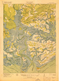
1919 · Edisto Island
USGS Topo · 1:62,500
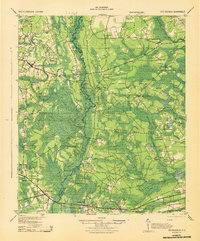
1943 · Cottageville
USGS Topo · 1:62,500
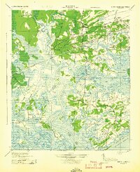
1943 · Edisto Island
USGS Topo · 1:62,500
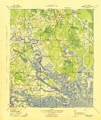
1943 · Green Pond
USGS Topo · 1:62,500
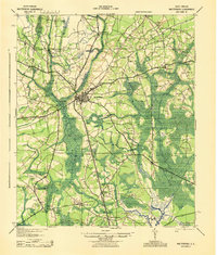
1943 · Walterboro
USGS Topo · 1:62,500
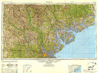
1947 · Savannah
USGS Topo · 1:250,000
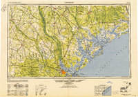
1948 · Savannah
USGS Topo · 1:250,000