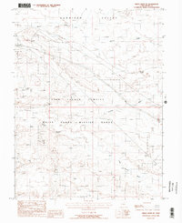
1988 Map of Green River NE
USGS Topo · Published 1988About this map
The Gunnison Valley landscape in Grand County, Utah, is defined here by a mix of high-technology defense operations and remote railroad infrastructure during the late 1980s. A significant portion of the terrain is occupied by the Utah Launch Complex and the northern reaches of the White Sands Missile Range, highlighting the region's role in mid-century aerospace and military testing.
Find a feature on this map
10 named features on this map. Tap any name to fly to it.
Don’t see what you’re looking for? This feature index may not catch every label — zoom into the map to look around manually.
Map Details
Editions of this 1988 Green River NE Map
2 editions found
Other maps of this area

1885 · San Rafael
USGS Topo · 1:250,000

1885 · East Tavaputs
USGS Topo · 1:250,000

1885 · La Sal
USGS Topo · 1:250,000

1886 · Price River
USGS Topo · 1:250,000

1896 · Price River
USGS Topo · 1:250,000

1954 · Tidwell 1 NE
USGS Topo · 1:24,000

1954 · Tidwell 1 SW
USGS Topo · 1:24,000

1954 · Tidwell 1 NW
USGS Topo · 1:24,000

1954 · Tidwell 1 SE
USGS Topo · 1:24,000

1954 · Green River
USGS Topo · 1:62,500