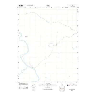
2010 Map of Green River SE
USGS Topo · Published 2010About this map
Green River flows through the southwestern corner of this Grand County region, marking a major hydrological junction where it meets the San Rafael River. This area is defined by its dramatic arid geography, centered on the prominent Dellenbaugh Butte and characterized by a network of seasonal drainages including Salt Wash, White Wash, and Red Wash. The map documents the isolated Ruby Ranch, a remote outpost accessed via the long Ruby Ranch Rd. This desert landscape reflects the stark ranching and river-corridor geography of eastern Utah, where water sources and topographic landmarks dictate the location of human activity and travel routes in a terrain dominated by erosion and wide alluvial washes.
Find a feature on this map
8 named features on this map. Tap any name to fly to it.
Don’t see what you’re looking for? This feature index may not catch every label — zoom into the map to look around manually.
Map Details
Editions of this 2010 Green River SE Map
This is the sole edition of this map. No revisions or reprints were ever made.
Other maps of this area

1885 · San Rafael
USGS Topo · 1:250,000

1885 · La Sal
USGS Topo · 1:250,000

1951 · The Knoll
USGS Topo · 1:62,500

1952 · Tidwell 4 NE
USGS Topo · 1:24,000

1952 · Moab 3 NW
USGS Topo · 1:24,000

1954 · Tidwell 1 NE
USGS Topo · 1:24,000

1954 · Tidwell 1 SW
USGS Topo · 1:24,000

1954 · Tidwell 1 NW
USGS Topo · 1:24,000

1954 · Tidwell 1 SE
USGS Topo · 1:24,000

1954 · Green River
USGS Topo · 1:62,500