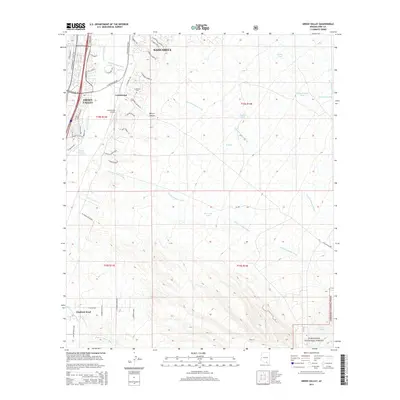
2014 Map of Green Valley
USGS Topo · Published 2014About this map
The Santa Cruz River valley near the southern border of Sahuarita serves as the focal point for this 2014 geographic study, capturing a period of residential expansion alongside longstanding ranching and aviation infrastructure. The western edge of the map is dominated by the sprawling communities of Green Valley and Continental, while the landscape to the east rises toward the Coronado National Forest. This transition from the developed valley floor to the canyon-cut foothills is defined by numerous drainage systems, including Sawmill Canyon Wash and Florida Canyon Wash. Local history is anchored by features such as the Continental Cem and the Continental Airport, which sit near the junction of major thoroughfares like S Old Nogales Hwy. Farther south, the settlement of Elephant Head marks the map's boundary near the mouth of Madera Canyon Wash.
Find a feature on this map
94 named features on this map. Tap any name to fly to it.
Don’t see what you’re looking for? This feature index may not catch every label — zoom into the map to look around manually.
Map Details
Editions of this 2014 Green Valley Map
This is the sole edition of this map. No revisions or reprints were ever made.
Other maps of this area
1904 · Patagonia
USGS Topo · 1:125,000
1905 · Patagonia
USGS Topo · 1:125,000
1920 · Arivaca
USGS Topo · 1:125,000
1922 · Agus Caliente
USGS Topo · 1:62,500
1925 · Samaniego Peak
USGS Topo · 1:62,500
1926 · Helvetia
USGS Topo · 1:62,500
1939 · Twin Buttes
USGS Topo · 1:62,500
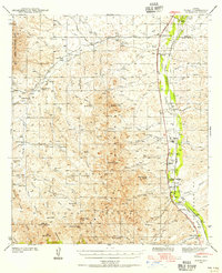
1939 · Tubac
USGS Topo · 1:62,500
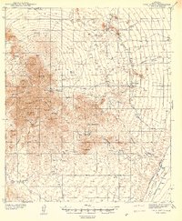
1941 · Twin Buttes
USGS Topo · 1:62,500
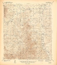
1943 · Tubac
USGS Topo · 1:62,500