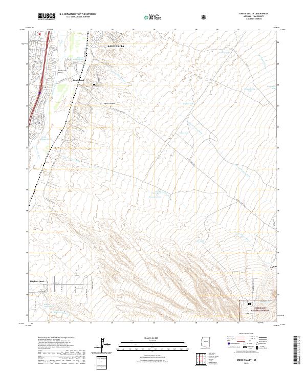
2021 Map of Green Valley
USGS Topo · Published 2021About this map
Continental and the southern reaches of Sahuarita anchor this modern survey of the Santa Cruz Valley. The landscape is defined by the ephemeral drainage patterns of the Santa Cruz River and its numerous tributaries, including Sawmill Canyon Wash and Florida Canyon Wash. These dry washes descend from the high elevations of the Coronado National Forest toward the valley floor, shaping the residential development seen along W Esperanza Blvd and S Old Nogales Hwy. Local history is preserved at the Continental Cem, while the southern terrain rises sharply toward the landmark of Elephant Head. This detailed record captures the contemporary intersection of desert ranching heritage, represented by features like Kinney Tank and Horseshoe Tank, with the expanding suburban footprint of the Pima County corridor.
Find a feature on this map
53 named features on this map. Tap any name to fly to it.
Don’t see what you’re looking for? This feature index may not catch every label — zoom into the map to look around manually.
Map Details
Editions of this 2021 Green Valley Map
This is the sole edition of this map. No revisions or reprints were ever made.
Other maps of this area

1904 · Patagonia
USGS Topo · 1:125,000

1905 · Patagonia
USGS Topo · 1:125,000

1920 · Arivaca
USGS Topo · 1:125,000

1922 · Agus Caliente
USGS Topo · 1:62,500

1925 · Samaniego Peak
USGS Topo · 1:62,500

1926 · Helvetia
USGS Topo · 1:62,500

1939 · Twin Buttes
USGS Topo · 1:62,500

1939 · Tubac
USGS Topo · 1:62,500

1941 · Twin Buttes
USGS Topo · 1:62,500

1943 · Tubac
USGS Topo · 1:62,500