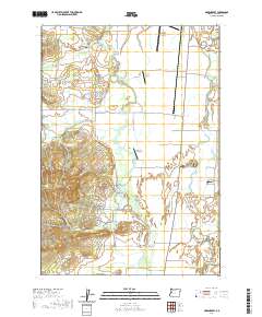
2020 Map of Greenberry
USGS Topo · Published 2020About this map
Armstrong Cem and Oakridge Cem mark the northern landscape of this Benton County survey, where the valley floor meets the foothills. The area is characterized by a series of distinct family histories recorded in small burial grounds such as the Irwin Family Cem, Winkle Family Cem, and McBee Family Cem located near Winkle Butte. This portion of the Willamette Valley is defined by its drainage systems, including Muddy Cr and Whitby Ditch, which support the significant wetlands of Cabell Marsh and McFadden Marsh.
Find a feature on this map
80 named features on this map. Tap any name to fly to it.
Don’t see what you’re looking for? This feature index may not catch every label — zoom into the map to look around manually.
Map Details
Editions of this 2020 Greenberry Map
This is the sole edition of this map. No revisions or reprints were ever made.
Other maps of this area

1909 · Harrisburg
USGS Topo · 1:31,680

1911 · Monroe
USGS Topo · 1:31,680

1911 · Inavale
USGS Topo · 1:31,680

1912 · Halsey
USGS Topo · 1:62,500

1913 · Philomath
USGS Topo · 1:31,680

1913 · Oakville
USGS Topo · 1:31,680

1916 · Albany
USGS Topo · 1:62,500

1921 · Corvallis
USGS Topo · 1:62,500

1922 · Monroe
USGS Topo · 1:62,500

1939 · Monroe
USGS Topo · 1:62,500