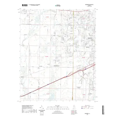
2020 Map of Greenbrier
USGS Topo · Published 2020About this map
Huntsville and Madison meet along a complex boundary in this detailed look at the North Alabama landscape, where the transition from agrarian roots to modern aviation is clearly visible. The southern portion of the map is dominated by the sprawling Huntsville International Airport-Carl T Jones Field and the surrounding industrial infrastructure along Madison Blvd and Production Ave. Despite this modern development, the map remains a vital resource for local history, preserving the locations of numerous family and church burial grounds such as Parker Church Cem, Ragland Cem, and the Bryan Farm Cem.
Find a feature on this map
207 named features on this map. Tap any name to fly to it.
Don’t see what you’re looking for? This feature index may not catch every label — zoom into the map to look around manually.
Map Details
Editions of this 2020 Greenbrier Map
This is the sole edition of this map. No revisions or reprints were ever made.
Other maps of this area

1888 · Huntsville
USGS Topo · 1:125,000

1892 · Huntsville
USGS Topo · 1:125,000

1935 · Athens
USGS Topo · 1:24,000

1936 · Jeff
USGS Topo · 1:24,000

1936 · Capshaw
USGS Topo · 1:24,000

1936 · Triana
USGS Topo · 1:24,000

1936 · Madison
USGS Topo · 1:24,000

1936 · Decatur
USGS Topo · 1:24,000

1936 · Mason Ridge
USGS Topo · 1:24,000

1936 · Tanner
USGS Topo · 1:24,000