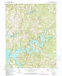
1980 Map of Greenbrier
USGS Topo · Published 1990About this map
The Hoosier National Forest dominates this landscape, framing a transition point in Indiana's southern woodlands as the newly created Patoka Lake reshaped the terrain. This survey, updated with late-1980s data, illustrates the significant impact of the Patoka River impoundment, creating a sprawling reservoir that replaced previous valley floor features with recreational hubs like Tillery Hill State Recreation Area. Small crossroads communities and family landmarks persist near the water's edge, including the settlement of Greenbrier and rural congregations such as South Liberty Ch and Patoka Ch. Traces of the region's earlier character are visible along the Indian Treaty Boundary, which cuts across the northern topography. From the French Lick Dam to the southern reaches of the Little Patoka River, the map serves as a primary record of the area's reconfiguration for flood control and public recreation.
Find a feature on this map
34 named features on this map. Tap any name to fly to it.
Don’t see what you’re looking for? This feature index may not catch every label — zoom into the map to look around manually.
Map Details
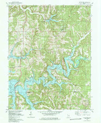
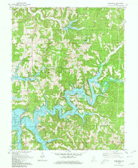
Editions of this 1980 Greenbrier Map
Other maps of this area

1950 · Valeene
USGS Topo · 1:24,000

1950 · English
USGS Topo · 1:24,000

1951 · Hillham
USGS Topo · 1:24,000

1951 · French Lick
USGS Topo · 1:24,000

1956 · Greenbrier
USGS Topo · 1:24,000

1956 · Taswell
USGS Topo · 1:24,000

1956 · Vincennes
USGS Topo · 1:250,000

1957 · Vincennes
USGS Topo · 1:250,000

1957 · Cuzco
USGS Topo · 1:24,000
1957 · Paoli
USGS Topo · 1:24,000