Loading...
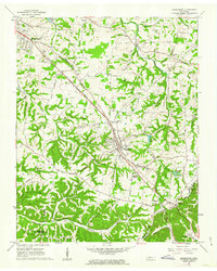
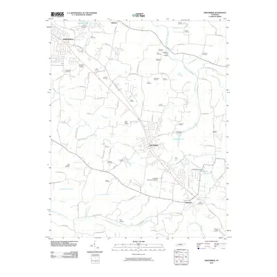
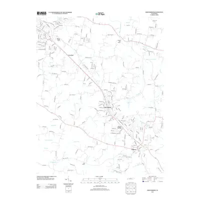
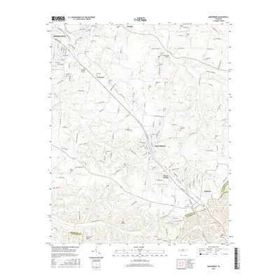
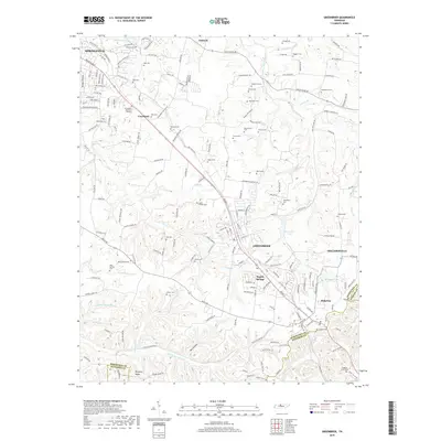
Loading map...1961 Map of Greenbrier
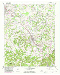
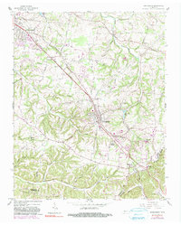
USGS Topo · Published 1963About this map
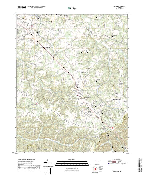
The Louisville and Nashville railroad corridor serves as the backbone for development through Robertson County in this early 1960s study. Small towns and communities like Greenbrier, Ridgetop, and Hygeia Springs are positioned along the rail line and highways, showing a landscape transitioning from rural agricultural tracts to more suburban patterns. Local infrastructure is well-defined, including the Watauga High Sch and a Drive-in Theater near Courtland.
Find a feature on this map
59 named features on this map. Tap any name to fly to it.
Don’t see what you’re looking for? This feature index may not catch every label — zoom into the map to look around manually.
Map Details
Date Portrayed1961
Date Published1963
PublisherU.S. Geological Survey
Map TypeTopographic
Scale1:24,000
Physical Dimensions22 x 27.5 inches
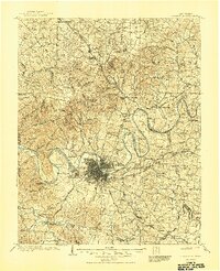
Editions of this 1961 Greenbrier Map
3 editions found
Historical Maps of Nashville Through Time
7 maps found
Featured Locations
Source Details
SourceU.S. Geological Survey
CopyrightPublic Domain