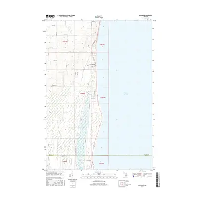
2017 Map of Greenbush
USGS Topo · Published 2017About this map
Greenbush occupies a narrow strip of land between the expansive waters of Lake Huron and the interior wetlands of Cedar Lake Swamp. This coastal settlement is defined by its proximity to the lake, with S Huron Shore Dr following the shoreline and providing access to the various residential streets such as Main St and Campbell St. The landscape immediately to the west is dominated by Cedar Lake, a significant inland water body surrounded by dense marshland. This area transition is marked by a network of rural roads, including Poor Farm Rd and Wissmiller Rd, which navigate the elevation changes and wetland borders. Further south, the map documents the administrative transition at the Alcona Co and Iosco Co boundary, illustrating how the regional road network connects these shoreline communities with the interior forest and farm lands.
Find a feature on this map
55 named features on this map. Tap any name to fly to it.
Don’t see what you’re looking for? This feature index may not catch every label — zoom into the map to look around manually.
Map Details
Editions of this 2017 Greenbush Map
This is the sole edition of this map. No revisions or reprints were ever made.
Other maps of this area
1954 · Tawas City
USGS Topo · 1:250,000
1958 · Tawas City
USGS Topo · 1:250,000
1959 · East Tawas
USGS Topo · 1:62,500
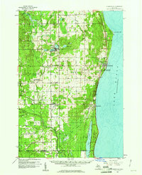
1959 · Harrisville
USGS Topo · 1:62,500
1983 · Hubbard Lake
USGS Topo · 1:100,000
1984 · Tawas City
USGS Topo · 1:100,000
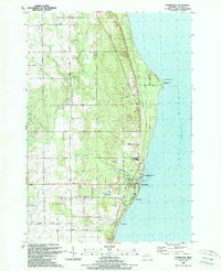
1989 · Harrisville
USGS Topo · 1:24,000
1989 · Mikado
USGS Topo · 1:24,000
1989 · Lincoln
USGS Topo · 1:24,000
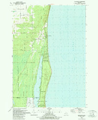
1989 · Greenbush
USGS Topo · 1:24,000