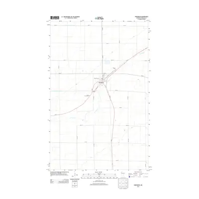
2013 Map of Greenbush
USGS Topo · Published 2013About this map
Greenbush serves as the focal point of this northwestern Minnesota survey, situated at the junction of MN-11 and MN-32. The town’s layout is defined by its local center, featuring the Po and streets such as Minnesota Ave W and Main St N. The surrounding landscape is heavily influenced by agricultural water management, evidenced by the rectilinear paths of Lateral Ditch Number One and State Ditch Number Ninetyfive, which intersect the natural winding course of the S Br Two Rivers. For genealogists and local historians, the map identifies three distinct burial grounds positioned on the outskirts of the settlement: Bethania Cem, Bethel Cem, and Blessed Sacrament Cem. Traces of earlier transportation routes remain visible through labels for Old Hwy 11, Old Hwy 32, and Old Ridge Rd, showing how the modern highway system evolved from these historic alignments.
Find a feature on this map
32 named features on this map. Tap any name to fly to it.
Don’t see what you’re looking for? This feature index may not catch every label — zoom into the map to look around manually.
Map Details
Editions of this 2013 Greenbush Map
This is the sole edition of this map. No revisions or reprints were ever made.
Other maps of this area
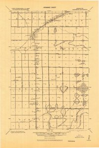
1918 · Greenbush
USGS Topo · 1:62,500
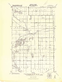
1919 · Pelan
USGS Topo · 1:62,500
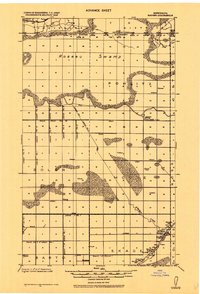
1919 · Badger
USGS Topo · 1:62,500
1930 · Juneberry
USGS Topo · 1:31,680
1932 · Juneberry
USGS Topo · 1:62,500
1952 · Thief River Falls
USGS Topo · 1:250,000
1956 · Thief River Falls
USGS Topo · 1:250,000
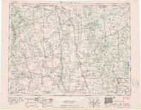
1957 · Thief River Falls
USGS Topo · 1:250,000
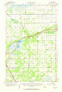
1957 · Pelan
USGS Topo · 1:62,500
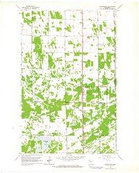
1962 · Strathcona
USGS Topo · 1:24,000