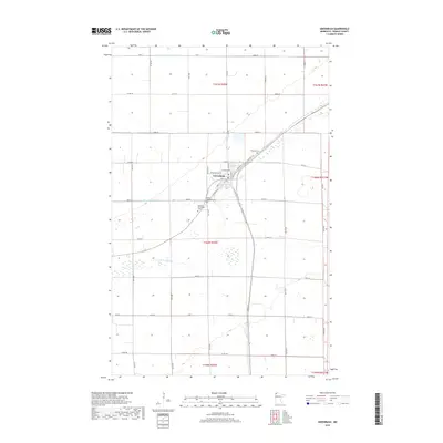
2019 Map of Greenbush
USGS Topo · Published 2019About this map
Greenbush serves as the focal point of this Northwest Minnesota survey, where a precise grid of rural roads meets the diagonal path of the local railroad corridor. The landscape is defined by the managed hydrology of the region, specifically State Ditch Number Ninetyfive and Lateral Ditch Number One, which alongside the S Br Two Rivers demonstrate the transition of this prairie terrain into productive farmland. Local heritage is concentrated near the town center, marked by the presence of Bethania Cem, Bethel Lutheran Cem, and Blessed Sacrament Cem. These sites, along with named thoroughfares like Old Ridge Rd and Old Hwy 32, provide essential markers for researchers tracing the development and family history of Roseau County.
Find a feature on this map
47 named features on this map. Tap any name to fly to it.
Don’t see what you’re looking for? This feature index may not catch every label — zoom into the map to look around manually.
Map Details
Editions of this 2019 Greenbush Map
This is the sole edition of this map. No revisions or reprints were ever made.
Other maps of this area
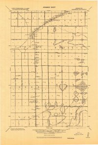
1918 · Greenbush
USGS Topo · 1:62,500
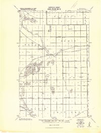
1919 · Pelan
USGS Topo · 1:62,500
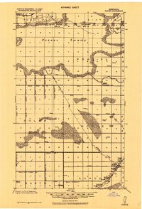
1919 · Badger
USGS Topo · 1:62,500
1930 · Juneberry
USGS Topo · 1:31,680
1932 · Juneberry
USGS Topo · 1:62,500
1952 · Thief River Falls
USGS Topo · 1:250,000
1956 · Thief River Falls
USGS Topo · 1:250,000
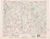
1957 · Thief River Falls
USGS Topo · 1:250,000
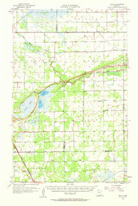
1957 · Pelan
USGS Topo · 1:62,500
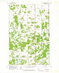
1962 · Strathcona
USGS Topo · 1:24,000