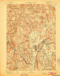
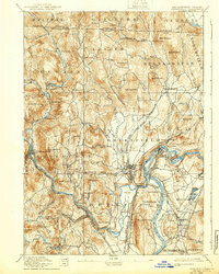
1894 Map of Greenfield
USGS Topo · Published 1903About this map
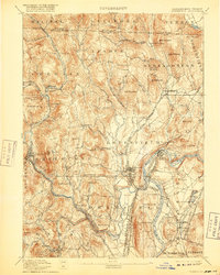
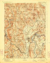
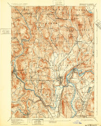
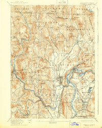
The Connecticut River and Deerfield River dominate this late 19th-century survey of Franklin County, showing a landscape defined by the intersection of industrial water power and heavy rail. At Turner Falls and Shelburne Falls, the concentrated development reflects the era's manufacturing centers, while the surrounding hills remain dotted with smaller hamlets like Griswoldville and Foundry Village. The complexity of the local rail network is strikingly detailed, featuring the Fitchburg Railroad and its Turner Falls Branch, as well as the Boston and Maine Railroad. Genealogists can trace property vicinities near local landmarks such as Bardwell Ferry and Arthur Seat. The map also captures the Vermont-Massachusetts state line, revealing the rural connectivity between Halifax and Guilford before modern highway expansion altered these historic corridors.
Find a feature on this map
117 named features on this map. Tap any name to fly to it.
Don’t see what you’re looking for? This feature index may not catch every label — zoom into the map to look around manually.
Map Details
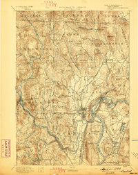
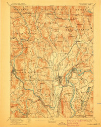
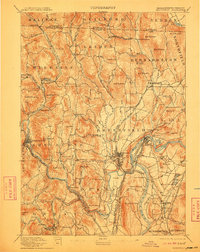
Editions of this 1894 Greenfield Map
10 editions found

Other maps of this area

1885 · Northampton
USGS Topo · 1:62,500

1886 · Hawley
USGS Topo · 1:62,500

1886 · Chesterfield
USGS Topo · 1:62,500

1886 · Northampton
USGS Topo · 1:62,500

1887 · Warwick
USGS Topo · 1:62,500

1887 · Belchertown
USGS Topo · 1:62,500

1888 · Chesterfield
USGS Topo · 1:62,500

1889 · Warwick
USGS Topo · 1:62,500

1889 · Wilmington
USGS Topo · 1:62,500

1890 · Hawley
USGS Topo · 1:62,500