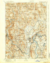
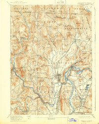
1894 Map of Greenfield
USGS Topo · Published 1939About this map
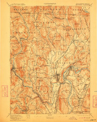
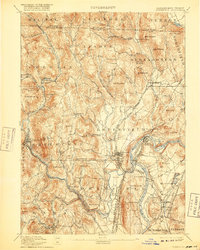
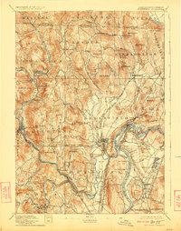
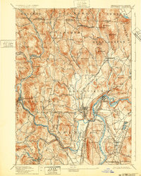
The Connecticut River and its powerful tributaries, the Deerfield River and North River, define this late-19th-century landscape. This era represents the peak of industrial waterpower in Franklin County, where the dramatic drops of the river systems supported a network of mill villages. Manufacturing centers like Shelburne Falls, Turners Falls, and Griswoldville are shown at their height, supported by a dense web of competing rail lines including the Fitchburg Railroad and the Boston and Maine Railroad.
Find a feature on this map
114 named features on this map. Tap any name to fly to it.
Don’t see what you’re looking for? This feature index may not catch every label — zoom into the map to look around manually.
Map Details
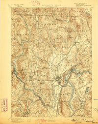
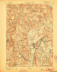
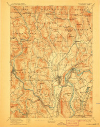
Editions of this 1894 Greenfield Map
10 editions found

Other maps of this area

1885 · Northampton
USGS Topo · 1:62,500

1886 · Hawley
USGS Topo · 1:62,500

1886 · Chesterfield
USGS Topo · 1:62,500

1886 · Northampton
USGS Topo · 1:62,500

1887 · Warwick
USGS Topo · 1:62,500

1887 · Belchertown
USGS Topo · 1:62,500

1888 · Chesterfield
USGS Topo · 1:62,500

1889 · Warwick
USGS Topo · 1:62,500

1889 · Wilmington
USGS Topo · 1:62,500

1890 · Hawley
USGS Topo · 1:62,500