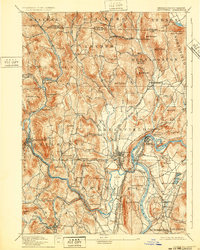
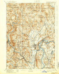
1894 Map of Greenfield
USGS Topo · Published 1932About this map
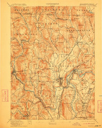
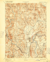
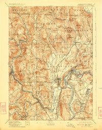
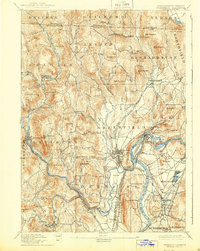
Greenfield sits at the heart of a sophisticated late-19th-century transportation network where the Connecticut River meets a dense web of industrial rail lines. This survey shows the region's intense reliance on water power and rail transit, particularly evident at the confluence of the Green River and the major junctions at Cheapside. Industrial settlements like Turners Falls, Foundry Village, and Griswoldville are depicted alongside agricultural centers, illustrating the transition from farm to factory.
Find a feature on this map
112 named features on this map. Tap any name to fly to it.
Don’t see what you’re looking for? This feature index may not catch every label — zoom into the map to look around manually.
Map Details
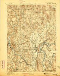
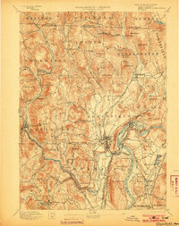
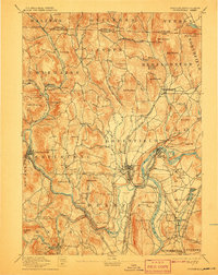
Editions of this 1894 Greenfield Map
10 editions found

Other maps of this area

1885 · Northampton
USGS Topo · 1:62,500

1886 · Hawley
USGS Topo · 1:62,500

1886 · Chesterfield
USGS Topo · 1:62,500

1886 · Northampton
USGS Topo · 1:62,500

1887 · Warwick
USGS Topo · 1:62,500

1887 · Belchertown
USGS Topo · 1:62,500

1888 · Chesterfield
USGS Topo · 1:62,500

1889 · Warwick
USGS Topo · 1:62,500

1889 · Wilmington
USGS Topo · 1:62,500

1890 · Hawley
USGS Topo · 1:62,500