
1894 Map of Greenfield
USGS Topo · Published 1894About this map
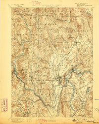
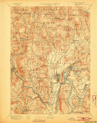
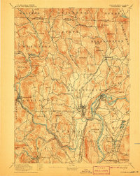
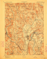
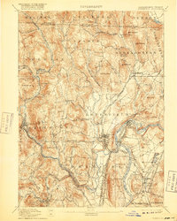
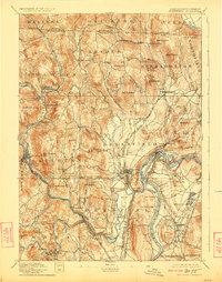
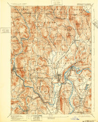
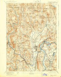
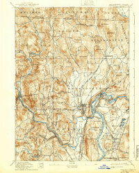
The Connecticut River and its powerful tributaries define this late 19th-century landscape of industrial villages and valley farms. Surveyed in the 1880s, the map reveals a dense network of manufacturing hamlets like Griswoldville, Foundry Village, and Lyonsville powered by the North Branch River and Green River. In the town of Greenfield, the intersection of the Boston and Maine Railroad and the Fitchburg Railroad at Cheapside marks a major regional transportation hub.
Find a feature on this map
110 named features on this map. Tap any name to fly to it.
Don’t see what you’re looking for? This feature index may not catch every label — zoom into the map to look around manually.
Map Details
Editions of this 1894 Greenfield Map
10 editions found
Other maps of this area

1885 · Northampton
USGS Topo · 1:62,500

1886 · Hawley
USGS Topo · 1:62,500

1886 · Chesterfield
USGS Topo · 1:62,500

1886 · Northampton
USGS Topo · 1:62,500

1887 · Warwick
USGS Topo · 1:62,500

1887 · Belchertown
USGS Topo · 1:62,500

1888 · Chesterfield
USGS Topo · 1:62,500

1889 · Warwick
USGS Topo · 1:62,500

1889 · Wilmington
USGS Topo · 1:62,500

1890 · Hawley
USGS Topo · 1:62,500