2010 Map of Greenfield
USGS Topo · Published 2010About this map
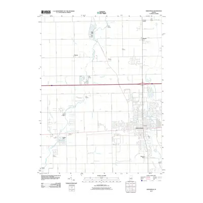
Greenfield anchors the southeastern portion of this Hancock County survey, showing the city's residential expansion and civic center near the Greenfield Post Office. The landscape is a complex network of agricultural drainage and natural waterways, defined by the winding course of Sugar Creek and Brandywine Creek. These waters are managed through an extensive system of named ditches, including Williamson Ditch, Boyd Ditch, and Potts Ditch, which underscore the region's managed hydrology.
Find a feature on this map
50 named features on this map. Tap any name to fly to it.
Don’t see what you’re looking for? This feature index may not catch every label — zoom into the map to look around manually.
Map Details
Editions of this 2010 Greenfield Map
This is the sole edition of this map. No revisions or reprints were ever made.
Other maps of this area

1952 · Cumberland
USGS Topo · 1:24,000

1952 · Greenfield
USGS Topo · 1:24,000

1952 · Fountaintown
USGS Topo · 1:24,000

1952 · Ingalls
USGS Topo · 1:24,000

1952 · Mc Cordsville
USGS Topo · 1:24,000

1953 · Acton
USGS Topo · 1:24,000

1953 · Pendleton
USGS Topo · 1:24,000

1953 · Cincinnati
USGS Topo · 1:250,000

1956 · Cleveland
USGS Topo · 1:24,000

1956 · Morristown
USGS Topo · 1:24,000