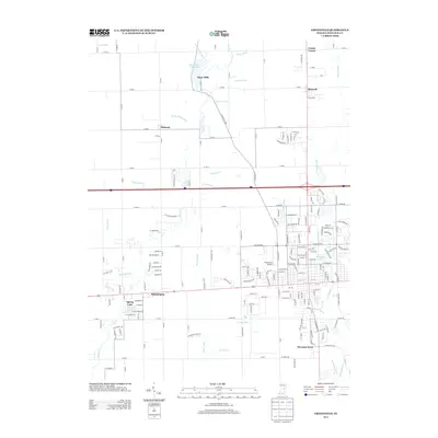
2013 Map of Greenfield
USGS Topo · Published 2013About this map
Philadelphia and the surrounding Hancock County countryside appear in this modern survey, which details a landscape defined by its complex drainage network and mid-century residential growth. The area west of Greenfield is marked by several distinct settlements, including Maxwell to the north and the community of Mohawk. A defining characteristic of the terrain is the extensive system of agricultural ditches, such as Boyd Ditch, Parker Ditch, and Fuller Ditch, which manage the low-lying geography.
Find a feature on this map
189 named features on this map. Tap any name to fly to it.
Don’t see what you’re looking for? This feature index may not catch every label — zoom into the map to look around manually.
Map Details
Editions of this 2013 Greenfield Map
This is the sole edition of this map. No revisions or reprints were ever made.
Other maps of this area

1952 · Cumberland
USGS Topo · 1:24,000

1952 · Greenfield
USGS Topo · 1:24,000

1952 · Fountaintown
USGS Topo · 1:24,000

1952 · Ingalls
USGS Topo · 1:24,000

1952 · Mc Cordsville
USGS Topo · 1:24,000

1953 · Acton
USGS Topo · 1:24,000

1953 · Pendleton
USGS Topo · 1:24,000

1953 · Cincinnati
USGS Topo · 1:250,000

1956 · Cleveland
USGS Topo · 1:24,000

1956 · Morristown
USGS Topo · 1:24,000