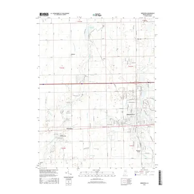
2016 Map of Greenfield
USGS Topo · Published 2016About this map
Greenfield and the surrounding Hancock County agricultural landscape are defined by an intricate network of drainage ditches and the winding course of Brandywine Creek. This central Indiana region, captured in 2016, showcases a grid of country roads connecting established hamlets like Mohawk, Maxwell, and Philadelphia. The map is particularly rich for family researchers, as it identifies numerous small burying grounds such as Willet Cem and Griffith Cem that dot the farmland. To the west, the village of Spring Lake surrounds its namesake water body near Sugar Creek, while the residential development of Bowman Acres sits south of the main city. Modern infrastructure, including the Pennsy Trl and various utility ditches like Leary Weber Ditch, illustrates how the land has been managed for both transport and agriculture over generations.
Find a feature on this map
100 named features on this map. Tap any name to fly to it.
Don’t see what you’re looking for? This feature index may not catch every label — zoom into the map to look around manually.
Map Details
Editions of this 2016 Greenfield Map
This is the sole edition of this map. No revisions or reprints were ever made.
Other maps of this area

1952 · Cumberland
USGS Topo · 1:24,000

1952 · Greenfield
USGS Topo · 1:24,000

1952 · Fountaintown
USGS Topo · 1:24,000

1952 · Ingalls
USGS Topo · 1:24,000

1952 · Mc Cordsville
USGS Topo · 1:24,000

1953 · Acton
USGS Topo · 1:24,000

1953 · Pendleton
USGS Topo · 1:24,000

1953 · Cincinnati
USGS Topo · 1:250,000

1956 · Cleveland
USGS Topo · 1:24,000

1956 · Morristown
USGS Topo · 1:24,000