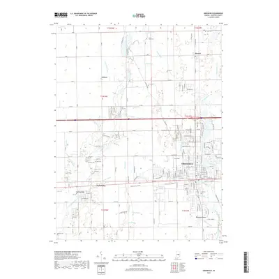
2019 Map of Greenfield
USGS Topo · Published 2019About this map
Greenfield serves as the central hub of this Hancock County landscape, where the convergence of modern transit corridors meets a deeply etched grid of historical drainage ditches. The map reveals the intricate water management system essential to the region, featuring named works like Leary Weber Ditch, Boots Ditch, and Smith Johnson Ditch that feed into Brandywine Creek and Sugar Creek. Small outlying settlements such as Mohawk, Maxwell, and Philadelphia dot the periphery, each maintaining its own identity alongside quiet rural cemeteries like Mount Carmel Cem and Reeves Cem. In the southern portion, the residential cluster of Spring Lake and the development at Bowman Acres contrast with the open agricultural sections. This survey documents the transition between traditional Hoosier farmland and the expanding residential footprint of the county seat, preserved at a moment of significant local growth.
Find a feature on this map
59 named features on this map. Tap any name to fly to it.
Don’t see what you’re looking for? This feature index may not catch every label — zoom into the map to look around manually.
Map Details
Editions of this 2019 Greenfield Map
This is the sole edition of this map. No revisions or reprints were ever made.
Other maps of this area

1952 · Cumberland
USGS Topo · 1:24,000

1952 · Greenfield
USGS Topo · 1:24,000

1952 · Fountaintown
USGS Topo · 1:24,000

1952 · Ingalls
USGS Topo · 1:24,000

1952 · Mc Cordsville
USGS Topo · 1:24,000

1953 · Acton
USGS Topo · 1:24,000

1953 · Pendleton
USGS Topo · 1:24,000

1953 · Cincinnati
USGS Topo · 1:250,000

1956 · Cleveland
USGS Topo · 1:24,000

1956 · Morristown
USGS Topo · 1:24,000