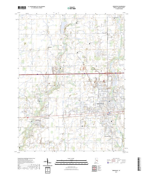
2022 Map of Greenfield
USGS Topo · Published 2022About this map
Greenfield serves as the focal point of this Hancock County landscape, anchored by the Hancock County Courthouse at its center. The city's residential and commercial core gives way to smaller communities like Philadelphia to the west and Maxwell and Mohawk to the north. These settlements are linked by a grid of agricultural and transport corridors, most notably the Pennsy Trl following an old rail alignment through the south.
Find a feature on this map
90 named features on this map. Tap any name to fly to it.
Don’t see what you’re looking for? This feature index may not catch every label — zoom into the map to look around manually.
Map Details
Editions of this 2022 Greenfield Map
This is the sole edition of this map. No revisions or reprints were ever made.
Other maps of this area
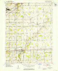
1952 · Cumberland
USGS Topo · 1:24,000
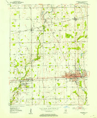
1952 · Greenfield
USGS Topo · 1:24,000
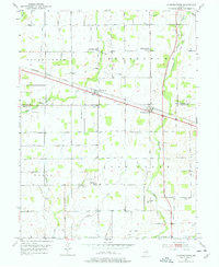
1952 · Fountaintown
USGS Topo · 1:24,000
1952 · Ingalls
USGS Topo · 1:24,000
1952 · Mc Cordsville
USGS Topo · 1:24,000
1953 · Acton
USGS Topo · 1:24,000
1953 · Pendleton
USGS Topo · 1:24,000

1953 · Cincinnati
USGS Topo · 1:250,000
1956 · Cleveland
USGS Topo · 1:24,000
1956 · Morristown
USGS Topo · 1:24,000