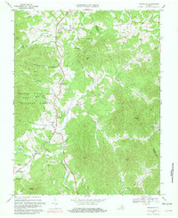
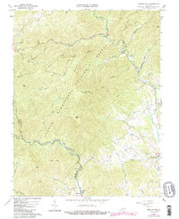
1967 Map of Greenfield
USGS Topo · Published 1981About this map
The North Fork Rockfish River and South Fork Rockfish River carve through the foothills of the Blue Ridge in this 1967 survey of the Nelson and Albemarle county border. Small communities and local crossroads center around historic rural congregations, such as Hebron Ch, Rodes Ch, and Mt Woodland Ch. The settlement of Greenfield sits at the base of the mountain ridges, while Nellysford marks the southern valley entrance. Significant portions of the western terrain are protected within the George Washington National Forest, where topography rises toward peaks like McLean Mtn and Pilot Mtn. The map reveals a landscape defined by traditional agriculture and forestry, with many family-named hollows and gaps, including Cooks Hollow and Tool Gap, still serving as primary landmarks for local geography.
Find a feature on this map
46 named features on this map. Tap any name to fly to it.
Don’t see what you’re looking for? This feature index may not catch every label — zoom into the map to look around manually.
Map Details
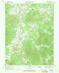
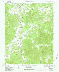
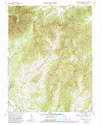
Editions of this 1967 Greenfield Map
Historical Maps of Nellysford Through Time
10 maps found
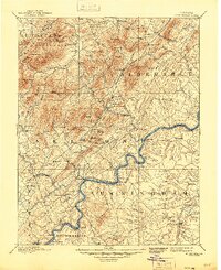
1892 Buckingham
Nelson County, VA
1965 Massies Mill
Nelson County, VA
1967 Greenfield
Nelson County, VA
1967 Horseshoe Mountain
Nelson County, VA
1979 Greenfield
Nelson County, VA
1999 Horseshoe Mountain
Nelson County, VA
1999 Massies Mill
Nelson County, VA
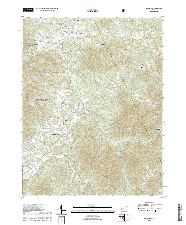
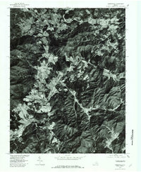
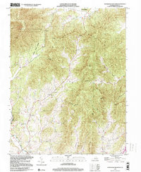
2022 Greenfield
Nelson County, VA
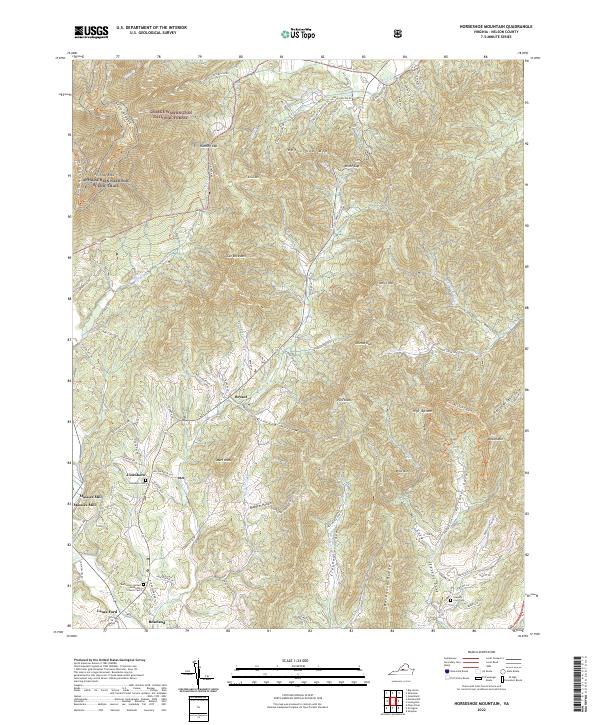
2022 Horseshoe Mountain
Nelson County, VA
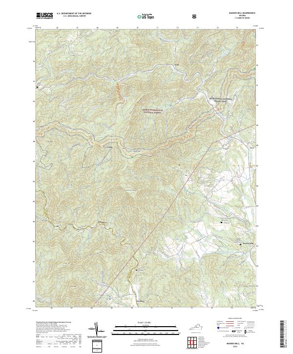
2022 Massies Mill
Nelson County, VA